



The beautiful weekend weather continued as we kicked off a brand-new workweek today, with mostly sunny skies and high temperatures in the 70s. This marks our 15th consecutive day in the 70s and our sixth straight day of sunshine!
This gorgeous stretch has been driven by a massive, dominant high-pressure system settled over the Great Lakes. But as the saying goes, all good things must come to an end. This high-pressure system will begin shifting eastward tonight. While it will grant us one final beautiful day tomorrow, a weather transition begins on Tuesday. Expect high clouds to gradually increase, though temperatures will remain unseasonably warm in the lower-to-mid 70s—a solid 5 to 10 degrees above normal for this time of year.
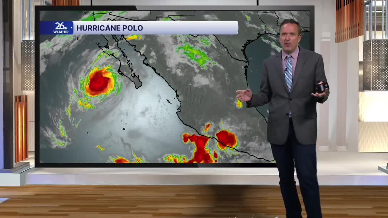
The real shift happens tomorrow night. A cold front will slowly move in from the north and west. At the same time, moisture from the remnants of Hurricane Polo will stream east-northeast across the Central Plains and into the Great Lakes by Wednesday.
Because of this, there is a slight risk of excessive rainfall across much of our area on Wednesday. Right now, it appears the heaviest downpours will pass just to our south, but we are keeping a very close eye on the situation. Most areas can expect between a half-inch and an inch of rain. However, locally higher amounts are possible, and flash flooding could occur where the heaviest rain falls. While a stray thunderstorm or two can't be ruled out, severe weather is not anticipated.
This system will finally push east on Thursday as we head into October. Behind it, look forward to clearing skies, plenty of sunshine, and a return to cooler, more seasonal temperatures in the 60s
