

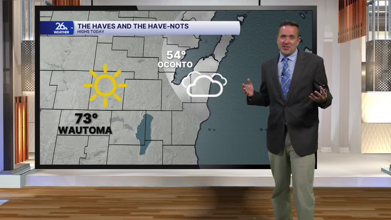


After a widespread lower-70s day yesterday, a backdoor cold front moved through Northeast Wisconsin this morning. Behind it, northeast winds brought low clouds, fog, and cooler temperatures. Although highs still reached the lower half of the 70s across Central Wisconsin, areas north and east of Green Bay were stuck in the clouds, keeping most spots in the 50s.
Overnight, clear skies will mix with areas of low clouds and fog, which could become locally dense once again. Temperatures will fall into the 40s to around 50°.
After Friday’s morning fog clears, we’ll see plenty of sunshine by the afternoon. As winds turn back to the south, most locations away from the lake will rebound into the lower 70s.
As the weekend approaches, expect a mix of clouds and sunshine. Saturday's highs will be in the lower to mid-70s, then cool slightly to the upper 60s to around 70 on Sunday.
A strong cold front moves through Sunday afternoon into the early evening. Behind it, gusty northeast winds, clouds, and showers are expected Monday and Tuesday. Highs will drop significantly, from the 40s up north to the 50s down south.
As it stands right now—about halfway through meteorological fall—this season ranks as the 16th warmest on record.
