After subzero highs on Saturday, temps continued to slowly warm up today.
Even with the warm-up, highs were running 10-15 degrees below normal.
Today was the 15th straight day with highs at/below 32 degrees.
This is the longest streak of sub-freezing temps to start the month since 1972.
Gusty SW wind will boost temps in the lower/mid 30s tomorrow, it will be our warmest day in nearly 3 weeks.
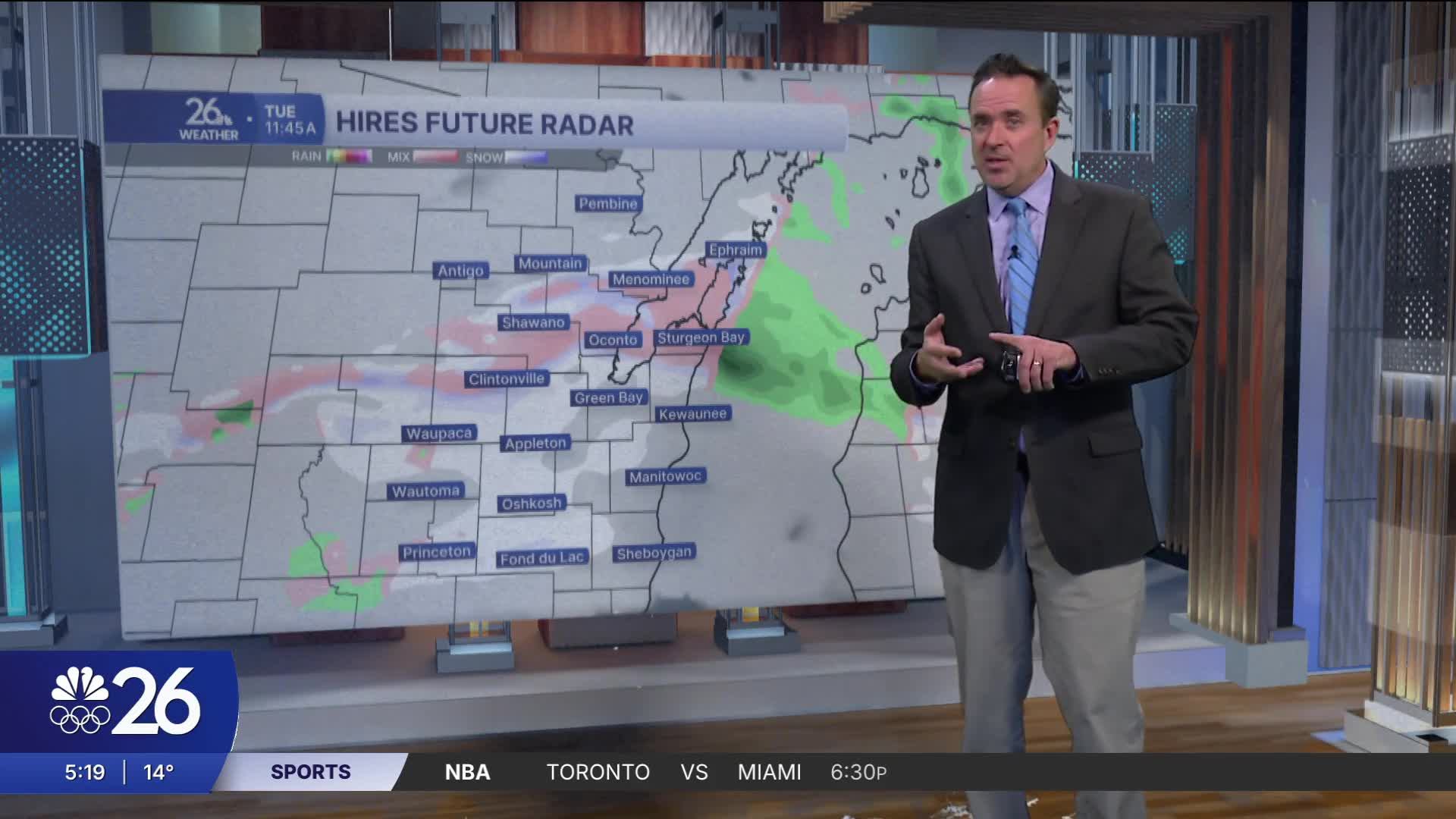
The warm-up will bring the chance of mixed showers as well.
Temperatures will be on a roller coaster ride the next 7 days as the jet stream becomes more volatile.
Cameron's Forecast


Posted
