



With high temperatures running a good 15 to 18 degrees above normal for this time of year, today marked the fourth consecutive day this month with highs in the 60s or higher. That is the longest such streak in November since 2022.
But the winds of change are blowing. While southern Wisconsin and Iowa basked in the mid-60s this afternoon, temperatures just to our west were only in the 40s and 50s. That cooler air began filtering into our area throughout the afternoon and early evening, dropping temperatures into the 50s.
The same large system that brought us this recent warmth is now cooling us down, and it will keep precipitation in the forecast overnight and into tomorrow.
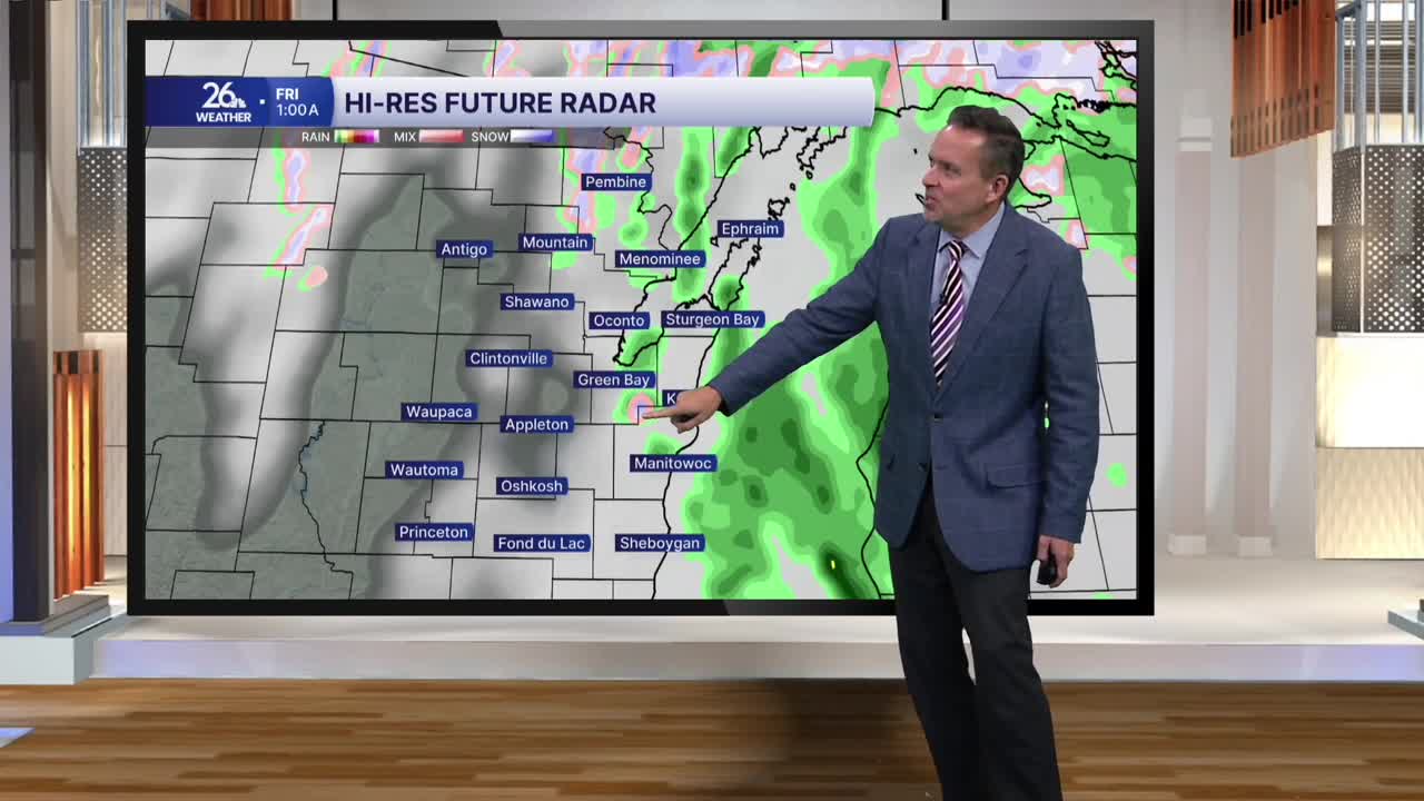
Tonight: Expect rain showers and sprinkles to develop, with lows dropping into the upper 40s. Gusty southerly winds will continue at times, occasionally topping 30 mph.
Thursday: Skies will stay mainly cloudy with ongoing rain showers and sprinkles. Winds will shift and become gusty out of the north at 30 to 40 mph. High temperatures will struggle, topping out only in the upper 40s to lower 50s.
Thursday Night: Enough cold air moves in aloft that any lingering rain showers could mix with a few snowflakes or sleet pellets. While most of us won't see any frozen precipitation, a lucky few may.
Friday: Morning clouds will give way to breaks of sunshine. However, gusty winds will persist as an even colder push of Canadian air arrives. For the first time in quite a while, high temperatures will drop below normal, with most places topping out in the lower to mid-40s. It will be our coldest day in six months.
The Weekend & Beyond: We begin to warm back up. After a chilly Saturday morning in the upper 20s, we will rebound into the upper 40s and low 50s by Saturday afternoon. Mid-to-upper 50s return on Sunday, and by Monday, most of us will see highs in the upper 50s to lower 60s.
