

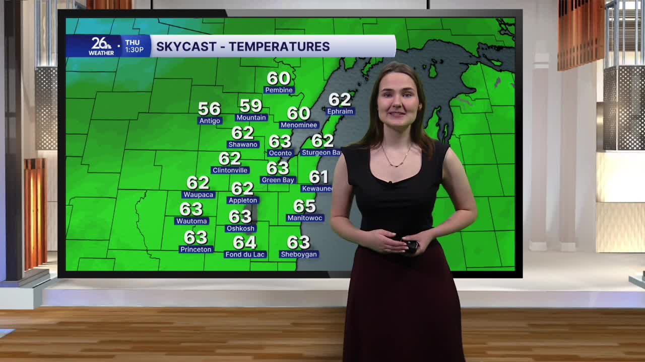


The warmup we've been experiencing over the last several days continues today as a high-pressure system remains in control of our weather pattern. Highs this afternoon will climb into the upper 50s to around 60 degrees as southwesterly winds bring warmer air into the area under mostly sunny skies. In fact, temperatures this afternoon will run 15 to nearly 20 degrees above normal for mid-November. However, those winds could be a bit gusty at times, with gusts reaching up to 25 miles per hour.
This evening, temperatures will settle into the upper 40s to around 50 degrees under mostly clear to clear skies before dropping into the mid-40s later tonight. That means our overnight lows will actually be warmer than typical November afternoon temperatures! It will remain a bit breezy overnight as well.
Thursday brings even warmer temperatures, with highs climbing into the 60s across the area. This will be thanks to continued gusty southwesterly winds bringing in more warm air, combined with daytime heating under mostly to completely sunny skies. Temperatures will remain in the 60s on Friday under mostly sunny skies, with that warmth continuing into Saturday as well!
Saturday also brings some changes to the forecast. Clouds will gradually build throughout the day, and rain chances will increase heading into the evening as a system begins moving through the area. The best chance for rain will come overnight Saturday into Sunday. Behind this system, winds will shift out of the north, allowing cooler air to return. Highs on Sunday will only reach the mid-40s before falling into the low 40s on Monday as quieter, more seasonable weather moves back in.
