

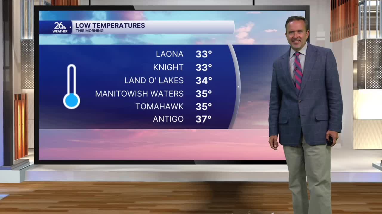


The taste of September that started over the weekend continued today. Low temperatures across northern Wisconsin dipped into the lower and middle 30s, with some areas even seeing a little summer frost. Green Bay dropped to 46°, missing the record low by only 5°.
After the sun came up, it was absolutely beautiful, with lots of sunshine, comfortable temperatures, and low humidity. Today marked the fourth consecutive day with below-normal high temperatures.
High pressure will move off to the east overnight, and on its backside, a gusty southwest wind will develop Tuesday. That southwest wind will boost temperatures and dew points, with highs climbing to around 80° and dew points rising back into the 60s. We’ll also have a chance of an isolated shower or thunderstorm.
There’s a much better chance for showers and thunderstorms Tuesday night as a cold front moves through. Behind that front on Wednesday, look for gusty northwest winds, a mix of sun and clouds, and once again a chance for a shower or thunderstorm.
Temperatures will remain seasonable for the rest of the week as we wrap up August and get ready to move into September.
