

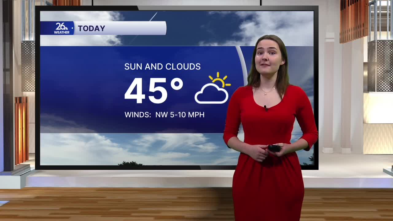


After two consecutive days of cooler temperatures and breezy, cloudy conditions, a warm-up moves in this weekend.
A system of high pressure moved in overnight and will control our weather pattern for the next several days. This afternoon brings a mix of clouds and sunshine, with temperatures reaching the mid-40s across much of the area. Highs today are right where they should be for mid-November.
This evening and overnight, most of the clouds will move out, leaving us with mostly clear skies. With less cloud cover, heat from the daytime will escape back into the atmosphere, allowing temperatures to fall into the upper 20s overnight. Winds will remain calm.
Sunday is shaping up to be just as nice as today, with even more sunshine and temperatures climbing back into the mid-40s.
The weather is looking fantastic for football as the Packers take on the Vikings at Lambeau tomorrow. Tailgating conditions will be a bit chilly, with temperatures in the mid-30s, but by kickoff, we'll warm into the mid-40s under sunny skies.
The warm-up continues into next week. Highs are expected to return to the 50s on Monday and remain there throughout the workweek, with mid-50s possible by the middle of next week. That's about 10 degrees warmer than normal for this time of year. Conditions will also remain quite dry, with only a slight chance of a few light showers on Thursday.
