

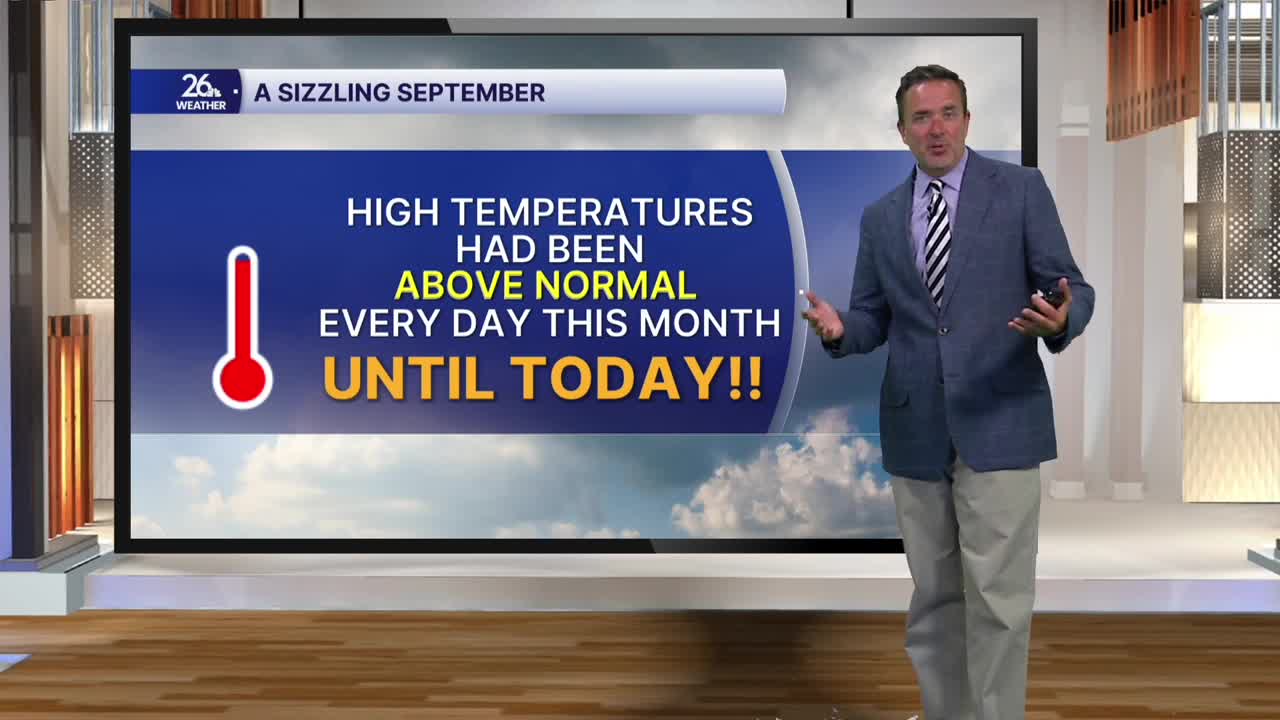


With clouds and rain for much of the morning and early afternoon, temperatures were held below normal today, the first time this month. Although we broke into some sunshine in the evening, most locations were running 1 to 3 degrees below normal for this time of year.
A cold front moving east across the state overnight will still give us a chance for a shower or a thunderstorm, but any lingering rain should be out of here by daybreak on Wednesday.
High pressure builds behind that front on Wednesday, bringing increasing sunshine as we move into the afternoon. We will see gusty westerly winds, but that breeze, coupled with the sunshine, will push temperatures back up into the lower 80s.
On Thursday, high pressure will sit right over the Great Lakes. That means lots of sunshine is on the way, but it will be a bit cooler. Northerly winds will push high temperatures back down into the 70s before sunny skies and lower 80s return on Friday.
Right now, the weekend looks pretty nice. We could see a brief shower early Saturday, followed by plenty of clear skies. Sunday brings lots of sunshine with just a slight chance of a late-day shower or thunderstorm.
