

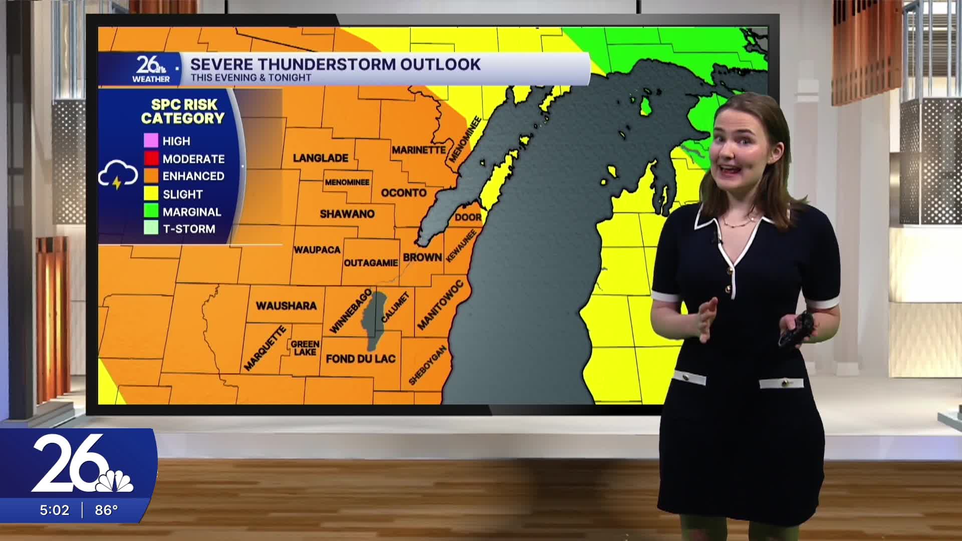


Today’s hot and humid conditions will give way to active weather tonight as chances for showers and storms move into the area.
This afternoon, high temperatures in the area reached into the upper 80s and low 90s. It was also quite humid with dew points in the 60s and 70s. These conditions have created favorable conditions for shower and thunderstorm activity tonight, and some of those storms could become strong to severe.
The timing of the storms has shifted later, with the greatest threat now expected after midnight. The primary threats with these storms will be damaging wind gusts, large hail, and locally heavy downpours, although a stray spin-up tornado cannot be ruled out.
Be sure you have multiple ways to receive weather updates and warnings this evening and overnight as storms move through the area.
By tomorrow morning, a few lingering showers and storms will be possible before conditions dry out by the late morning and early afternoon. Afternoon temperatures will climb back into the upper 80s, with some southern counties reaching the lower 90s. Dew points will remain in the upper 60s and 70s, and heat index values could once again approach 100° across parts of our southwestern counties.
Another round of showers and thunderstorms is expected Monday afternoon, and some of those storms could again become strong to severe. Cooler and drier weather will then move in, with highs settling back into the 80s beginning Tuesday.
