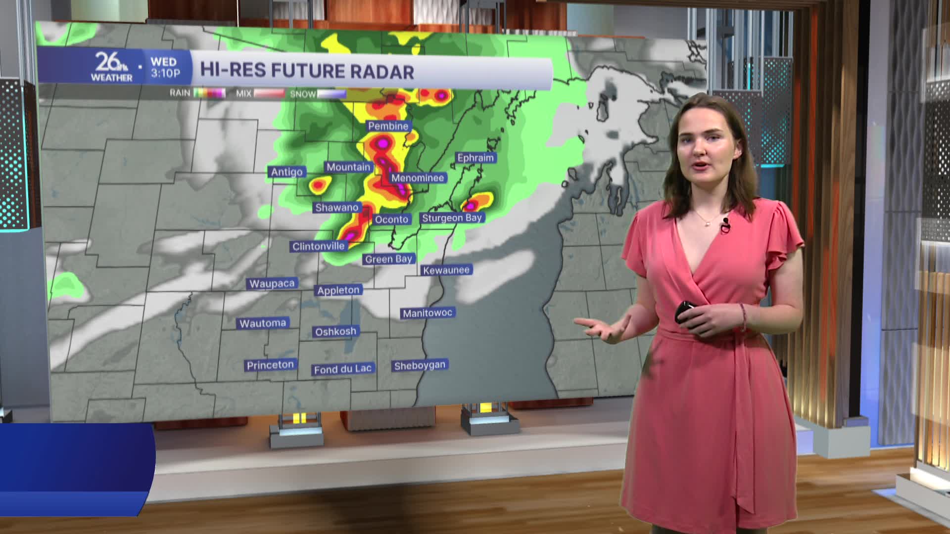


The risk for showers and thunderstorms continues today. Following a brief period of scattered showers and storms this morning, a more widespread threat of thunderstorms will develop this evening and continue into the overnight hours. Some of these storms may become strong to severe. All severe weather hazards are possible, including heavy downpours, damaging wind gusts, large hail, frequent lightning, and a few isolated tornadoes.
Another risk for severe weather arrives Thursday as an additional round of thunderstorms moves through the area during the evening.
After a warm start this morning, temperatures will climb into the upper 80s across most of the area this afternoon, with a few locations reaching the low 90s. Combined with the extreme humidity expected to persist over the next several days, heat index values will rise into the upper 90s and exceed 100 degrees in some locations. A Heat Advisory remains in effect for most of our counties through 8 PM tonight, while an Extreme Heat Warning remains in effect for our southern counties through 7 PM this evening.
The hot and humid pattern we've experienced over the past several days will continue through the remainder of the week, with afternoon highs in the upper 80s to lower 90s. High humidity will keep conditions feeling uncomfortable, although cloud cover and thunderstorms may keep temperatures slightly cooler in some areas.
