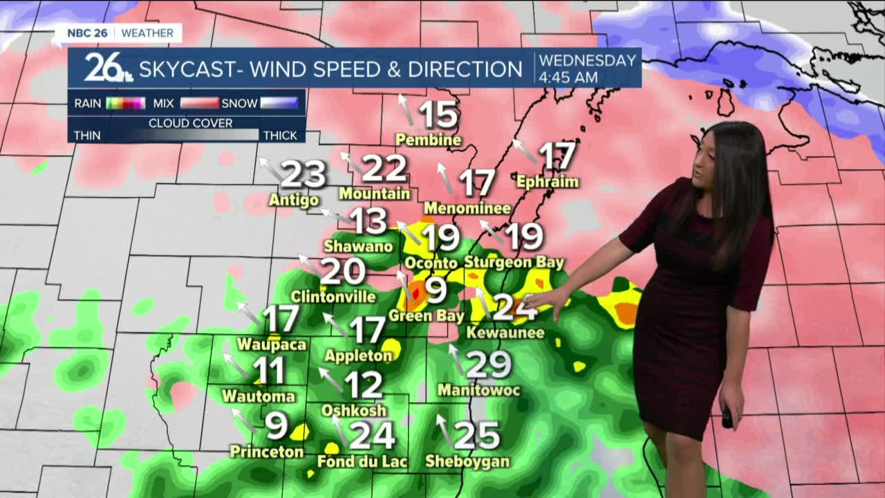
Another spring storm takes aim at the Midwest tonight through Thursday which will make a mess once again for our area. Rain will be the main precipitation type, but areas in the far north close to the U.P. will once again encounter the potential for freezing rain and snow. We will also see some thunderstorms with threat of locally heavy rain and rising rivers.
The rain will end as some snow/mix on Thursday with 1-2" accumulations possible.
Saturday and Sunday will bring some warmer weather, with highs in the low/mid 40s. A wintry mix is possible on Saturday.
This 7 day forecast temperature trend is projecting high temperatures mainly to stay below normal. It appears this cool weather will last into the first week of April before we break lose from this pattern. Our normal highs climb into the upper 40s for the beginning of April, clearly, we will not be seeing those values for the time being.


