

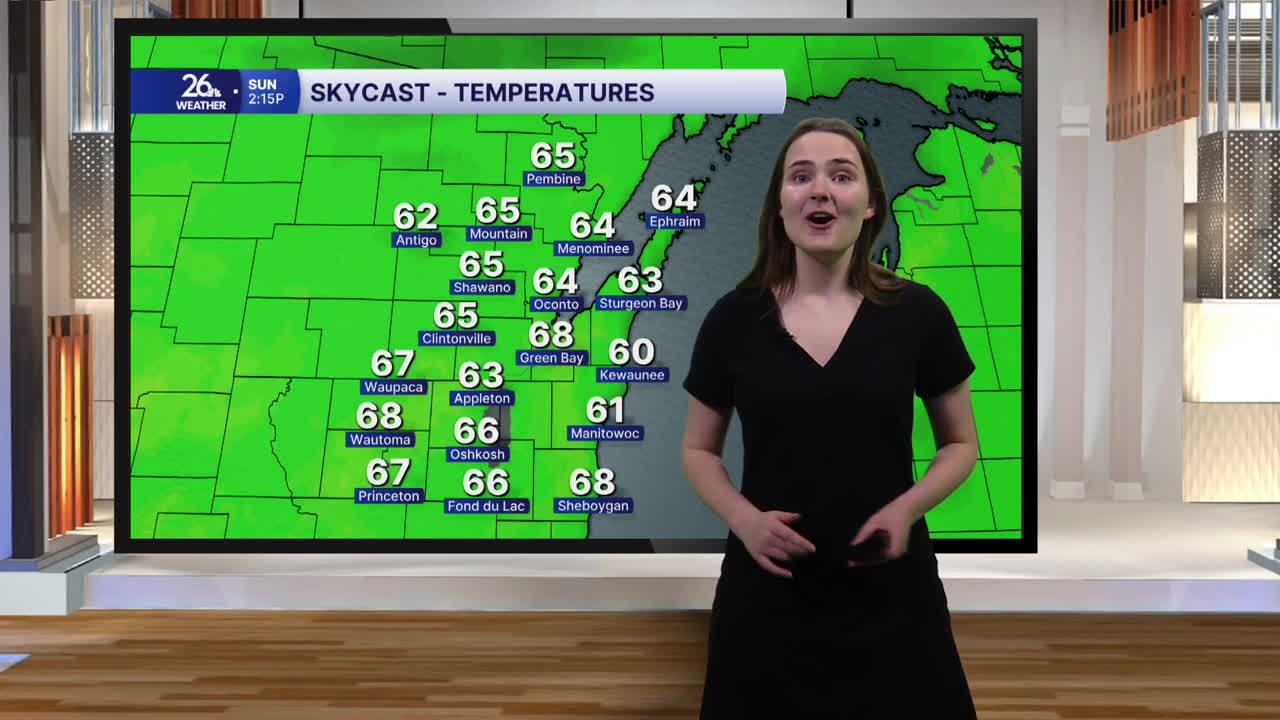


Today’s weather was very on theme for the holiday, with a few tricks and treats. High temperatures this afternoon reached the low 60s across much of Northeast Wisconsin under mostly cloudy skies. And while we did see some scattered showers and sprinkles, especially later in the afternoon, no heavy downpours were in sight to put a damper on any Halloween plans!
This evening, a few more spooky sprinkles are possible, but most of the area will remain dry, with temperatures in the low 50s. Overnight skies will remain mostly to completely cloudy as temperatures fall into the upper 40s.
After all the Halloween festivities and fun come to an end, don’t forget to turn your clocks back one hour before heading to bed tonight! Daylight Saving Time comes to an end at 2 a.m. Sunday, meaning we’ll gain an extra hour of sleep Sunday morning.
We’ll carry those above-normal temperatures with us into the month of November. While tomorrow morning will start off mostly cloudy, the clouds will break up by the afternoon, allowing more sunshine to peek through and temperatures to warm into the mid to upper 60s.
Temperatures will remain in the 60s on Monday, but our next chance for rain moves in as well. Clouds will increase Sunday night, and Monday morning will start off mostly cloudy before rain moves in during the afternoon. This rain will be more widespread, with some heavier downpours possible during the evening.
Monday is just the beginning of a slightly more active weather pattern that will remain in place across the area through the first half of next week. In addition to more rainfall, we could see a few rumbles of thunder and gusty winds on Tuesday. Showers will continue into Wednesday before we finally dry out on Thursday.
There is a good chance we’ll pick up some beneficial rainfall from these rounds of rain, something that is desperately needed in areas from Green Bay north, where drought conditions continue.
