

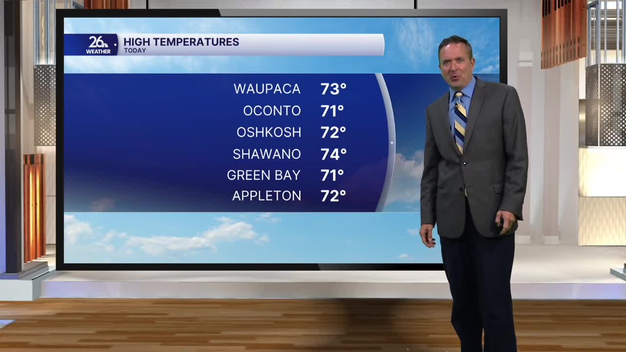


Bright sunshine and gusty southwest winds pushed temperatures into the lower to middle 70s today, making it our warmest day in nearly three weeks. It was also warm enough to set a new record high! The previous record was 70°, set in 1946.
The warmth we saw this afternoon developed ahead of a cold front that will move through overnight. That front will bring a good chance of showers and thunderstorms during the very early morning hours Thursday.
Behind the cold front, skies will be mostly sunny on Thursday, with gusty winds and cooler temperatures. Cooler, but not exactly cool! Highs will still reach the lower to middle 60s, a good 10 to 15 degrees above normal for this time of year.
There is a chance of frost or freezing temperatures Friday morning, with lows dropping into the lower to mid-30s.
By Friday afternoon, temperatures will rebound to the middle to upper 50s. Our normal high for this time of year is in the lower 50s.
Halloween will feature plenty of clouds, some sunshine, and a chance of a couple of showers. Most of the day will stay dry, but I can't completely rule out the threat of rain. Highs will reach the middle to upper 50s.
We fall back early Sunday morning as standard time begins. That means an extra hour of sleep, but it also means an earlier sunset. On Sunday, the sun will set at 4:40 p.m Sunday looks to be a very nice day, with a mix of clouds and sunshine. Temperatures will climb to nearly 60°.
