

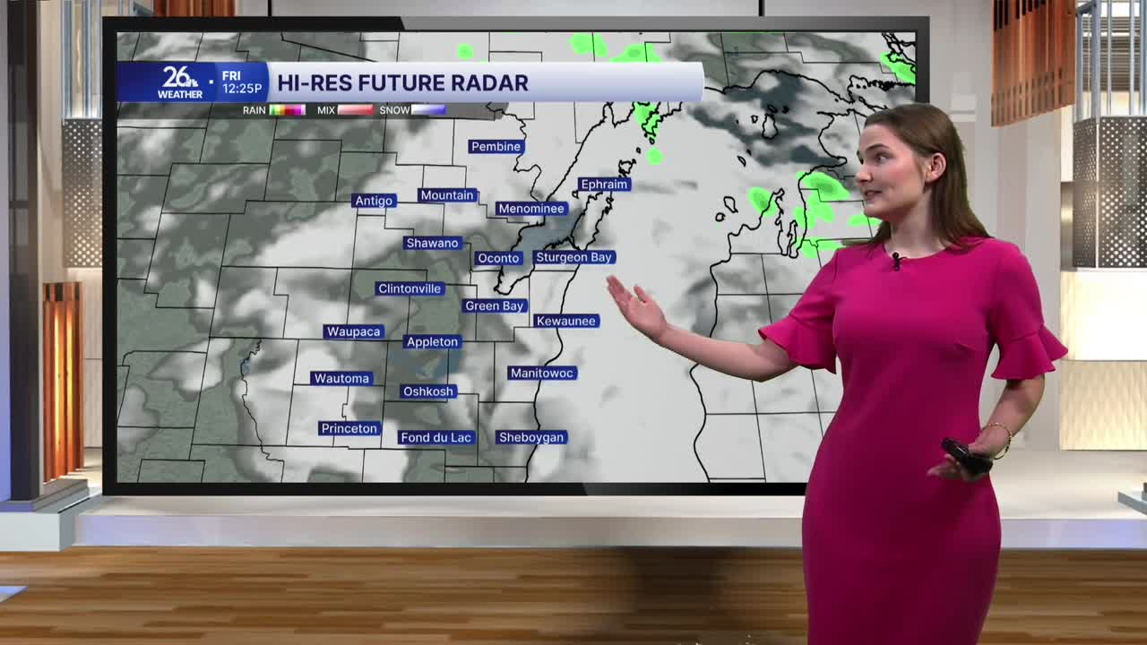


Showers and thunderstorms moved through the NBC 26 viewing area this morning, bringing frequent lightning and heavy rain. Some of the heavier downpours did result in flooding in some places with flood advisories issued for some through late this morning.
While we started the day gloomy, things are looking up for this afternoon. The lingering clouds will at times give way to some sunshine, allowing temperatures to reach highs in the upper 70s to low 80s. Humidity will still linger, with dew points in the upper 60s and low 70s.
This evening, temperatures will fall into the low to mid-70s under partly to mostly cloudy skies, with an outside chance of an isolated shower or storm early in the evening. Overnight, clouds will stick around, with low temperatures in the mid-60s and fog possible in some spots early Saturday morning.
Your Labor Day weekend forecast is looking very nice, albeit a bit on the humid side. Temperatures through Monday are expected to reach the upper 70s to low 80s under a mix of clouds and sunshine. However, with the high humidity, there is still the slightest chance of a pop-up shower or storm during the afternoon each of the three days.
Our next best chance of rain comes our way Tuesday and Wednesday, as temperatures are expected to remain a few degrees warmer than normal for early September through the middle of next week.
