



After what turned out to be a beautiful Fourth of July weekend, Monday continued the trend.
Blue skies, plenty of sunshine, low dew points, and highs around 80 degrees made for a picture-perfect day for early July.
Temperatures will warm another 5-7 degrees tomorrow, with highs reaching the mid to upper 80s as dew points climb back into the 60s.
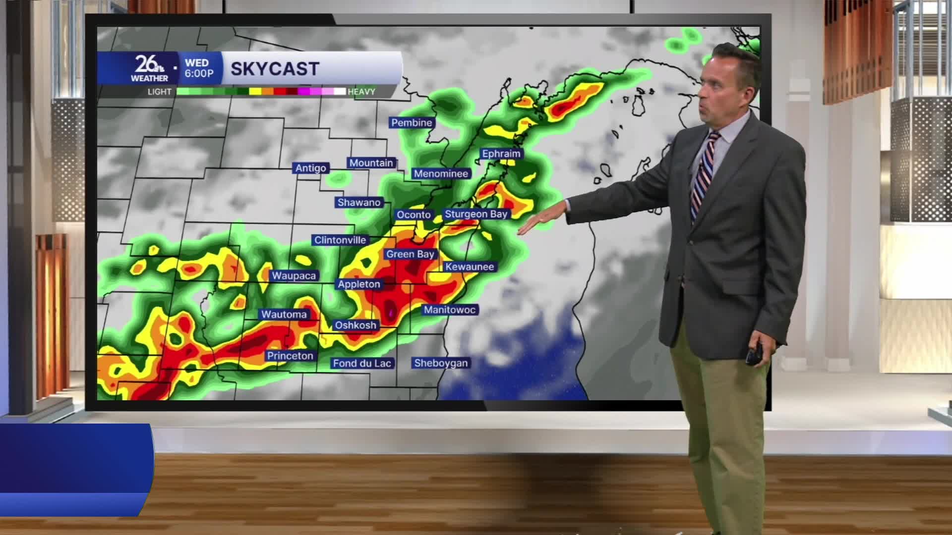
Similar highs are expected on Wednesday, but sky conditions will change significantly. A cold front approaching from Canada will trigger thunderstorms during the afternoon and evening. A few storms could become strong to severe, producing damaging winds and hail. Locally heavy rainfall is also possible.
A few showers or storms may linger early Thursday before cooler, more comfortable air returns for Thursday afternoon and Friday.
Hot and humid weather returns early next week, with more 90-degree temperatures expected.
