

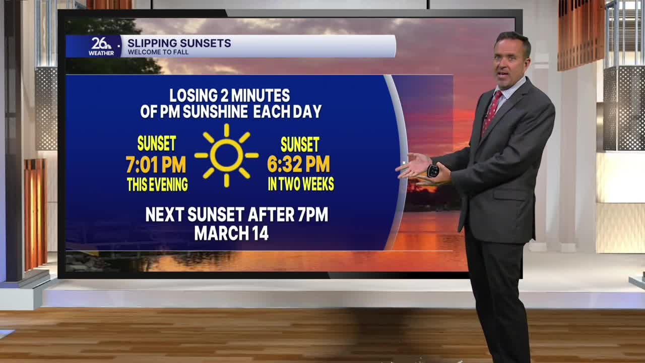


All in all, it was a pretty nice day across the area, with a decent amount of sunshine and near-normal temperatures. Our normal high is now in the lower 70s, and most of us topped out in the upper 60s to the lower 70s. The high-pressure system that gave us such a pleasant day will shift east this evening, allowing our next weather maker to move in.
This system will produce scattered showers overnight. A lingering shower is possible Thursday morning, but expect a mix of sun and clouds by afternoon, with high temperatures returning to the upper 60s to lower 70s. Although that might not sound like much to write home about, it will be our warmest day for at least the next week.
On Friday, our next significant weather maker moves in from the west. After some morning clouds and sunshine, rain and thunderstorms will overspread the area in the late morning and afternoon, continuing into Saturday. Most computer forecast models suggest that much of Northeast Wisconsin could receive another 1 to 3 inches of rain from this system.
We are already experiencing our second-wettest start to September on record. As the next batch of heavy rain moves in, we will be heading toward potentially the wettest September on record. The heavy rain will taper to showers on Saturday, with a lingering threat of rain continuing into Sunday.
Fall officially arrives on Tuesday, and it will feel like it. High temperatures after tomorrow will be a good 5 to 10 degrees below normal for at least the next week or so.
