

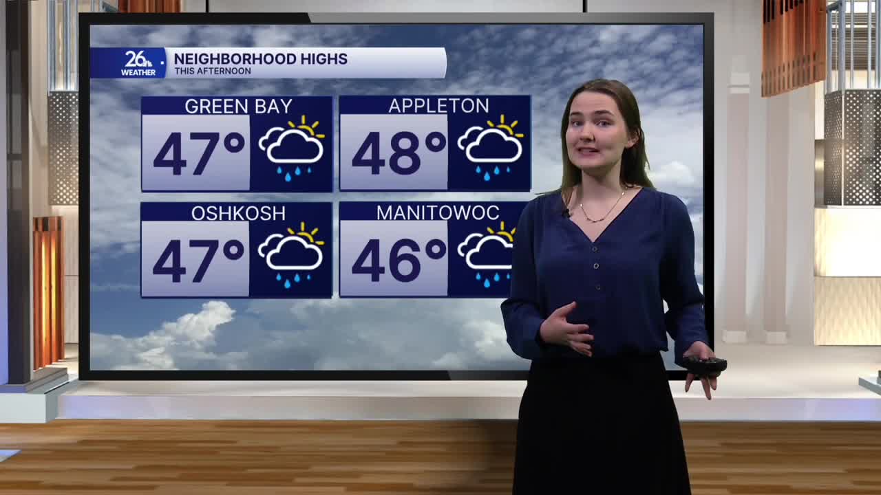


After several record highs were broken across Northeast Wisconsin yesterday, temperatures take a tumble this afternoon.
A cold front passed through the area last night, bringing some much-needed rain showers this morning. The showers become more scattered this afternoon, leaving most of us with mostly cloudy skies.
Behind the front, winds have shifted out of the northwest, ushering in much cooler air. Those winds will remain a bit breezy, helping to keep temperatures in the mid to upper 40s this afternoon, about 20 degrees colder than what we saw yesterday!
The cooldown continues into this evening as temperatures drop from the 40s into the 30s and skies gradually clear. Winds will pick up slightly again tonight, with gusts reaching up to 30 miles per hour at times. The combination of gusty winds and mostly clear skies will allow overnight lows to dip to around 30 degrees.
On Monday, temperatures will struggle to reach 40 degrees by the afternoon as breezy conditions continue. A mix of clouds and sunshine is in store, along with the chance for a few flurries in spots north of Green Bay during the afternoon. Little to no accumulation is expected, as ground temperatures are still a bit too warm. However, don't be surprised if you spot a flake or two!
Cooler air sticks around as Thanksgiving approaches. Temperatures on Tuesday may struggle to climb out of the upper 30s before slowly beginning to rebound on Wednesday. Thanksgiving Day itself looks to bring a return to temperatures in the low 40s, putting us slightly above average for late November.
