



It was another day of low visibility, a smoky smell in the air, and poor air quality across northeast Wisconsin. We spent much of the day in the unhealthy to very unhealthy categories.
Air quality should improve slightly on Monday as southwest winds briefly push the thicker smoke back into Canada.
We will have on-and-off showers and thunderstorms tomorrow, with two primary rounds expected to affect northeast Wisconsin. The first will move through during the morning, bringing clouds, showers, and thunderstorms.
We should then break into a mixture of sunshine and clouds. Highs will climb into the mid to upper 80s, with dew points in the 70s and gusty south winds. Those conditions should help fuel another round of thunderstorms late tomorrow afternoon and evening—and that is the round we will need to watch closely.
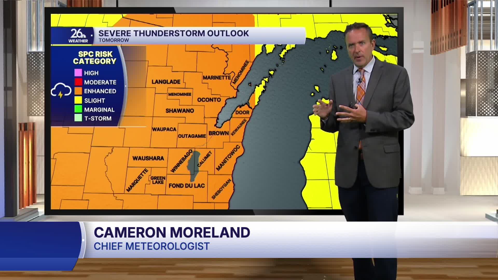
There is an enhanced risk of severe weather across the entire viewing area tomorrow afternoon and evening. All types of severe weather will be possible, including damaging winds, large hail, torrential downpours, and tornadoes.
Cooler and less humid air will move in behind the cold front on Tuesday. A few lingering showers will remain possible before mostly sunny skies return Wednesday. Some smoke may also return, with highs in the mid to upper 70s.
