

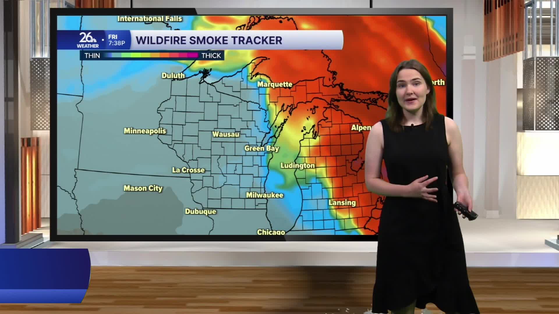


An Air Quality Alert remains in effect through this afternoon, but relief is in sight.
A warm front lifted northward through the area overnight, shifting winds from the north to the south and southwest. This wind shift will help push the smoke back into Canada through the afternoon.
As the front continues to move north, a few scattered showers and storms are possible this morning before clearing by this early afternoon. Afternoon temperatures will climb into the mid to upper 80s, with a few locations in our southwestern counties potentially reaching 90 degrees. Sunshine and building clouds this afternoon will lead to another round of showers and storms, especially north of Green Bay. There is a Marginal Risk of severe weather for areas north of Green Bay, with the primary risks being gusty winds, hail and brief heavy rainfall.
After the storms move through, a cold front will sweep across the area tonight into Saturday morning, bringing with it gusty northwest winds on Saturday. Sunshine is expected; however, those winds may bring some wildfire smoke back to the area. At this point, the smoke is not expected to be as dense as it has been over the past few days.
This weekend, temperatures will stay in the 80s, with sunny and dry conditions expected.
