



Today was the second day in a row with plenty of cloud cover, on-and-off light rain or sprinkles, and cooler temperatures—at least compared to the 70s we enjoyed over the weekend. Afternoon highs hovered in the mid-to-upper 50s. While that is certainly cooler, it is still technically above normal for this time of year.
We will see a chance of a few sprinkles or showers overnight as a warm front lifts to our north, followed by clearing skies toward daybreak.
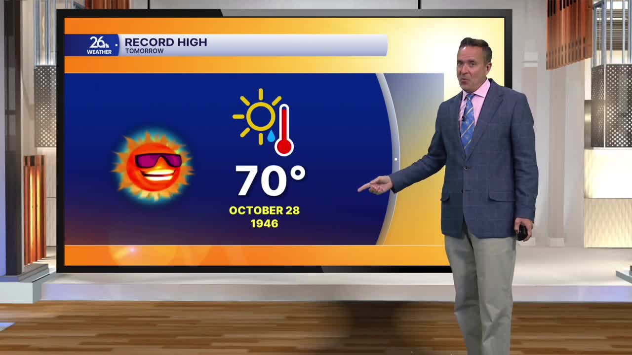
Tomorrow, on the other side of that warm front, skies will become mostly sunny. We can expect gusty southern winds, which will push temperatures up. Most locations away from Lake Michigan will climb into the lower 70s. The record high for tomorrow, set in 1946, is 70 degrees, and we will more than likely break it.
Tomorrow night, a cold front will move through the western Great Lakes, bringing scattered showers and thunderstorms. Severe weather is not expected, but brief, heavy rain is possible. Behind the front on Thursday, expect gusty northwest winds, plenty of sunshine, and slightly cooler temperatures, with most areas seeing afternoon highs in the mid-to-upper 60s. Friday looks pleasant, with a mix of sun and clouds and highs in the lower 60s.
The weather becomes a bit more muddled as we head into the holiday weekend. On Halloween, expect mostly cloudy skies with a chance of on-and-off showers. Hopefully, this rain holds off during trick-or-treat time, but it is definitely something to watch. Highs will be in the mid-to-upper 50s.
Finally, after midnight on Saturday night, we fall back. You will want to turn your clocks back one hour before heading to bed, giving you an extra hour of sleep Sunday morning. Just keep in mind that the sun will set shortly after 4:30 PM on Sunday afternoon.
