

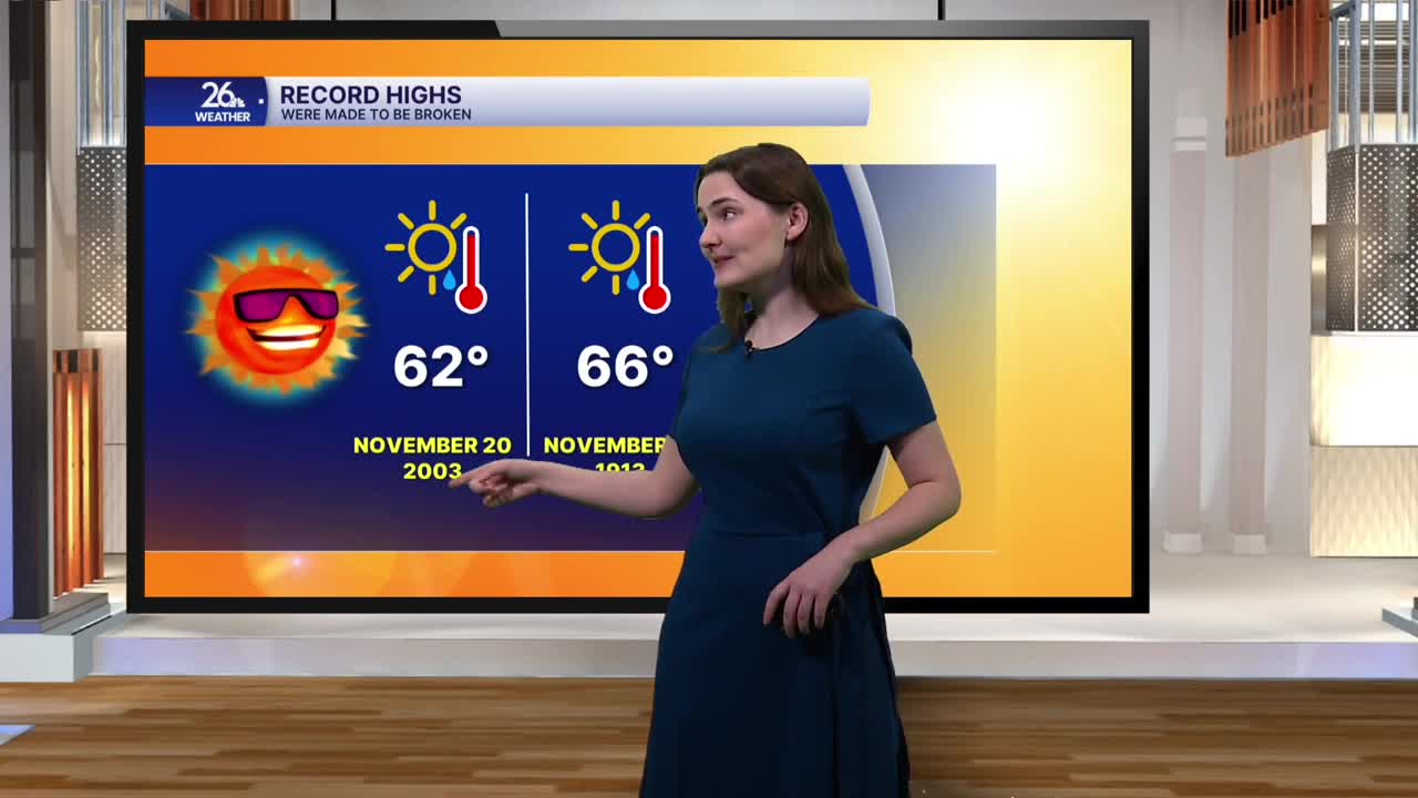


Friday morning started with a bit of a chill in the air. Temperatures were in the mid to upper 30s across the area, which is still about 10 degrees warmer than our typical morning lows for this time of year. Mostly sunny skies and southerly winds will help warm temperatures into the low to mid 60s this afternoon. In fact, we could see a few record highs broken today. The current record high in Green Bay for November 20 is 62 degrees, set back in 2003.
Winds will gradually pick up this afternoon, with gusts reaching up to 20 miles per hour before strengthening this evening and overnight. Gusts could reach 30 miles per hour at times. Overall, tonight will be rather mild, with lows right around 50 degrees under mostly clear skies.
Saturday brings a mix of sunshine and clouds, along with temperatures in the mid to upper 60s. That's around 25 degrees warmer than what's typical for mid-November. We could break another record high on Saturday, which currently stands at 66 degrees. Saturday's temperatures will also make for the warmest kickoff to gun deer season on record.
As we head into the second half of Saturday, clouds will gradually build, and a chance of showers will move in ahead of a cold front. The front will pass through Saturday night into Sunday morning.
Sunday will feature scattered rain showers and gusty winds shifting out of the north, bringing temperatures back down into the 40s.
Even colder air moves in starting Monday. More sunshine is expected, but temperatures will only reach the upper 30s to around 40 degrees, a few degrees below normal. These cooler temperatures will stick around through Wednesday before we rebound into the low to mid 40s by Thanksgiving.
