



Our weather was rinse and repeat today, with highs in the upper 50s to around 60, gusty southwest winds, and lots of sunshine. It was almost identical to yesterday.
The large area of high pressure that’s been giving us quiet weather this week will shift east overnight, allowing a cold front to push in from the northern Plains. That front will produce gusty southwest winds across the area tonight, with gusts at times close to 30 mph, which in turn will keep temperatures from falling. While our normal low is in the mid to upper 20s, by daybreak on Thursday, most of us will be in the mid to upper 40s.
That mild start sets the stage for a very warm Thursday. With plenty of sunshine and gusty southwest winds, temperatures will soar in the afternoon, reaching the lower to mid-60s. That is a good 15 to 25 degrees above normal for this time of year, though still about 10 degrees shy of the record high of 72 degrees.
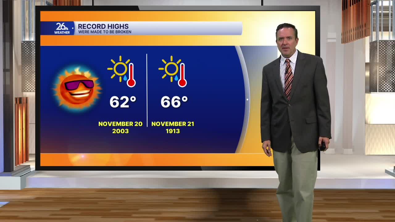
Behind the cold front on Friday, the weather won’t change much, except that we will have much less wind. Expect plenty of sunshine with pockets of clouds, and temperatures still in the lower to mid-60s. Friday's record high is 62 degrees, which is certainly within reach.
On Saturday, ahead of a stronger cold front, we’ll have gusty southwest winds and temperatures climbing into the mid- to upper-60s. We’ll be close to the record high of 66 degrees. As the front moves across the area Saturday evening through Sunday morning, we’ll see scattered showers and rain. Behind the front on Sunday, gusty northwest winds will drop temperatures back into the 40s.
Much cooler weather moves in for Monday and will stick around as we head toward Thanksgiving. Highs will only be in the 30s to around 40—which is right where we should be for this time of year.
