

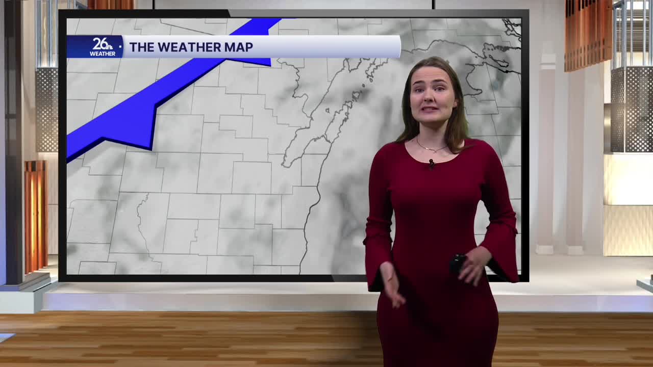


Another pleasant afternoon is on the way today. High temperatures across the area will reach the mid to upper 60s, a few degrees cooler than the past couple of days. Skies will remain partly to mostly cloudy this afternoon, with a stray shower possible in some of our northern counties, although most of the area will stay dry.
A cold front will move through late this afternoon and into this evening. Temperatures will fall into the 50s this evening as clouds gradually increase. Another brief sprinkle will be possible across the north this evening. The area will dry out completely overnight as cloudy skies take over and lows drop into the mid-40s.
Temperatures Monday morning will start in the upper 40s to around 50 degrees and won't rise much throughout the day. Highs will reach the low 50s for many, while some areas may struggle to climb out of the upper 40s under mostly cloudy skies. Scattered light showers are possible throughout the day, becoming a bit more widespread by Monday evening. Temperatures will rebound slightly Tuesday, reaching the mid-50s under mostly cloudy skies, with another chance for light showers.
This cooldown will be brief, however, as temperatures in the 60s return Wednesday. Those readings will stick around through the rest of the week, with mostly dry conditions and only a slight chance of a shower Thursday. Halloween is shaping up to be nice as well, with temperatures in the low 60s and a mix of clouds and sunshine.
