

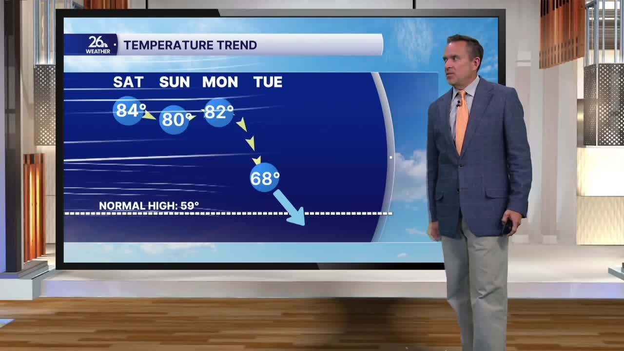


After three straight days with highs in the 80s, a heat wave by October standards ended this afternoon. Temperatures ranged from the low 70s in the south to the mid-50s in the north. Most spots were a good 15 to 25 degrees cooler than Monday, with gusty northwest winds topping 30 miles per hour at times.
After a lot of afternoon sunshine, a weak system will move across the state overnight. This will bring mostly cloudy skies and perhaps a passing shower or sprinkle. Clouds will linger with pockets of sunshine on Wednesday, with temperatures about 10 degrees cooler. Most spots will only see highs in the upper 50s, which is exactly where we should be for this time of year.
On Thursday, a much stronger system moves across the state. Clouds will give way to soaking rain by the afternoon, and highs will remain in the 50s.
On the backside of that system on Friday, expect gusty winds of 30 to 40 miles per hour. Afternoon temperatures will struggle, mainly in the 40s to around 50, with occasional rain showers. A wet snowflake cannot be ruled out across the far north.
Clearing skies Friday night into Saturday morning—along with diminishing winds—could end the growing season across much of Northeast Wisconsin. Overnight low temperatures are expected to drop into the upper 20s to the lower 30s in the Fox Valley, with widespread 20s to the north and west.
After that, a really nice weekend is on the way for some leaf-peeping!
