Today was the coolest day since May, and tomorrow will be even cooler.
The normal high is in the mid-50s, and we will remain below that for the next three days!
An area of low pressure will produce showers across the region overnight, along with gusty winds on Wednesday.
A few showers will persist into Thursday, and combined with gusty winds, temperatures will stay in the 40s to around 50.
Mixed showers are possible north of Green Bay, including rain, sleet, and some snow.
More frost could occur on both Friday and Saturday mornings.
Temperatures will warm up a bit for the final weekend of October.
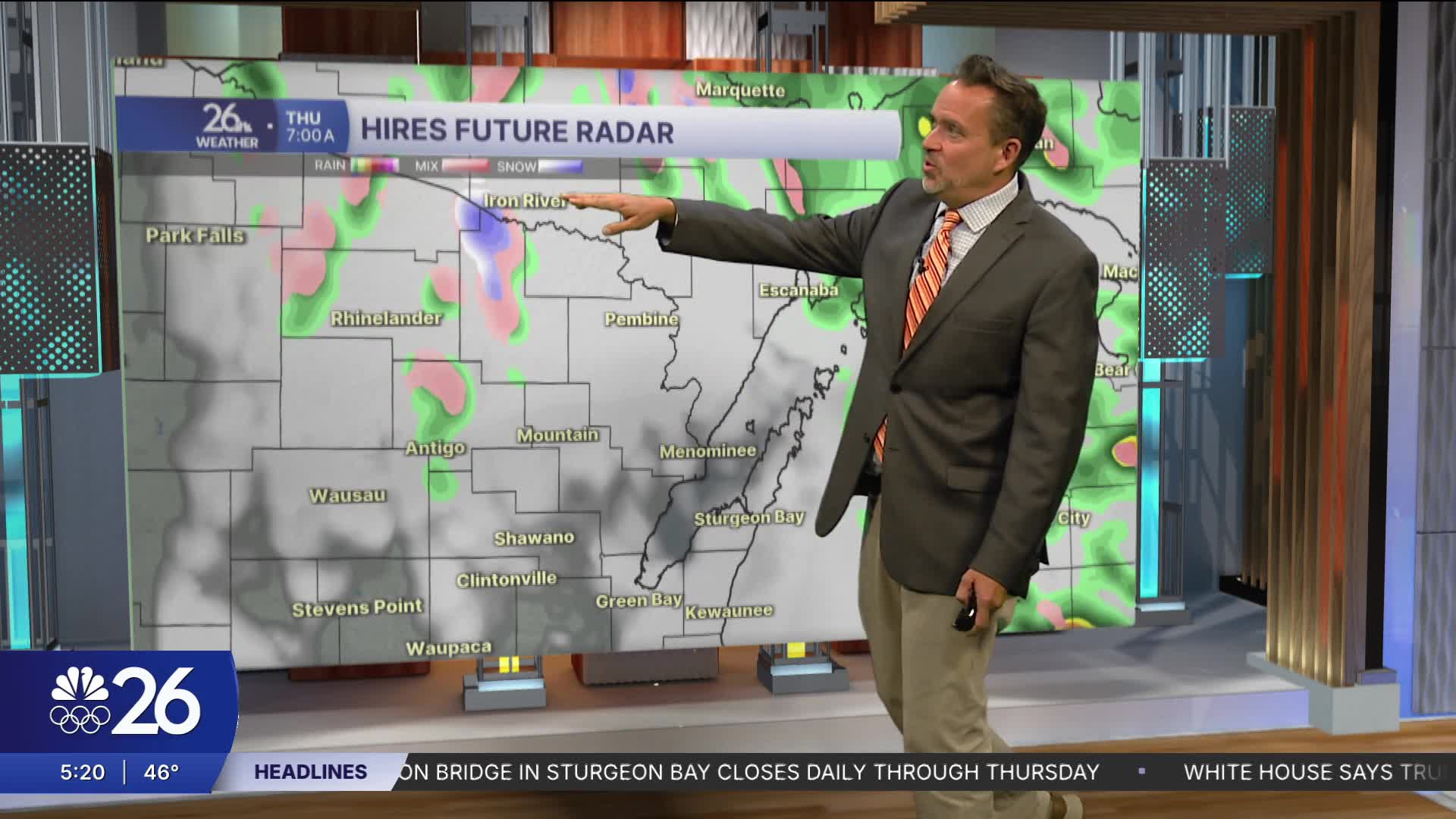
Cameron's Forecast


Posted
