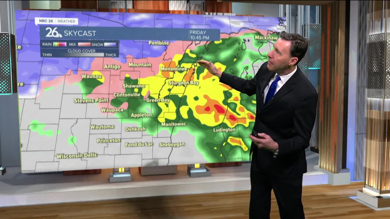
This next major, spring storm system is going to come in two main waves. The farther you live into The Northwoods, the snowier this whole event will be.
Round one starts mainly late this afternoon and tonight. We’ll have a mix of snow and rain changing to mostly rain through the night. A rumble of thunder will also be possible as this moves through. Well off to the north, several inches of snow may fall with freezing rain also a possibility.
We’ll have kind of a lull in the action through part of the daytime Friday until the second wave of this storm gets here.
Round two will be the strongest of this system. Scattered thunderstorms will start to develop through the afternoon. This rain and thunderstorm activity will become widespread on Friday night and the winds will start to howl out of the northeast. Some heavy rain will be possible. This will start to changeover to snow as the night wears on from the northwest to southeast. North and northwest, this snow will become heavy.
By Saturday morning, all of this will have transitioned over to snow. With this second round of snow, Green Bay and the Fox Cites may only see 1-2”, but as you go to the northwest, north of Highway 29, you may see 4-8” with even more snow than that in the far Northwoods. The wind will continue to howl out of the north which may push around any remaining ice on any larger bodies of water to their southern shorelines.
The wind dies down Saturday night.


