After seeing back to back 60 degree temperatures, something not seen since the middle of December, we are taking a big step back to a taste of winter weather again.
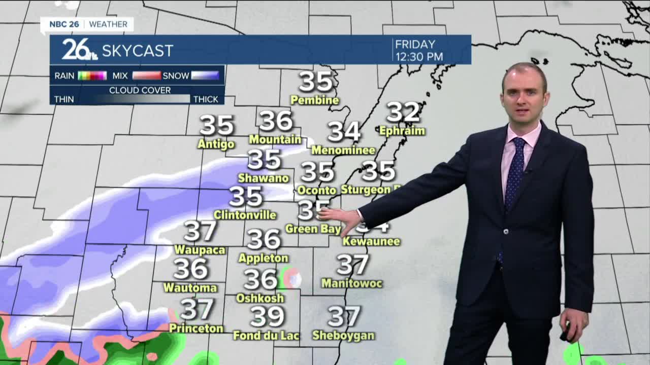
An area of low pressure is going to bring a wintry mix and snow to the after starting later this morning and continue on and off for most of the day. One thing that will make it difficult for the snow to accumulate will be the air temperature. With highs in the mid to upper 30s, this will be a slushy wet heavy snow that will melt while it falls.
In order for it to accumulate, the snow needs to fall at a faster rate than the rate of which it is melting. That being said, snow accumulation will be around 1-3 inches for the highest hit areas.
Additional snow showers are possible tonight and into early Saturday morning. Highs will get into the upper 40s Saturday afternoon with gradually clearing skies. This will melt most of the snowfall. Anything that is left over will melt off Sunday with highs in the mid 50s.
The weather turns more unsettles and cooler next week as we track another storm system. Question remain if we will see rain, snow, both, or perhaps nothing at all. It will all be dependent on how the storm will track


