



We kicked off the brand-new work week with the coldest temperatures in four months. The low temperature in Green Bay hit 40°, missing the record low by just six degrees. North and west of the Fox Valley, it was much colder; parts of Northern Wisconsin dipped into the upper 20s, and closer to home in Oconto, it hit 33°. Mid-to-late September is the time we typically see our first frost or freeze north and west of Green Bay.
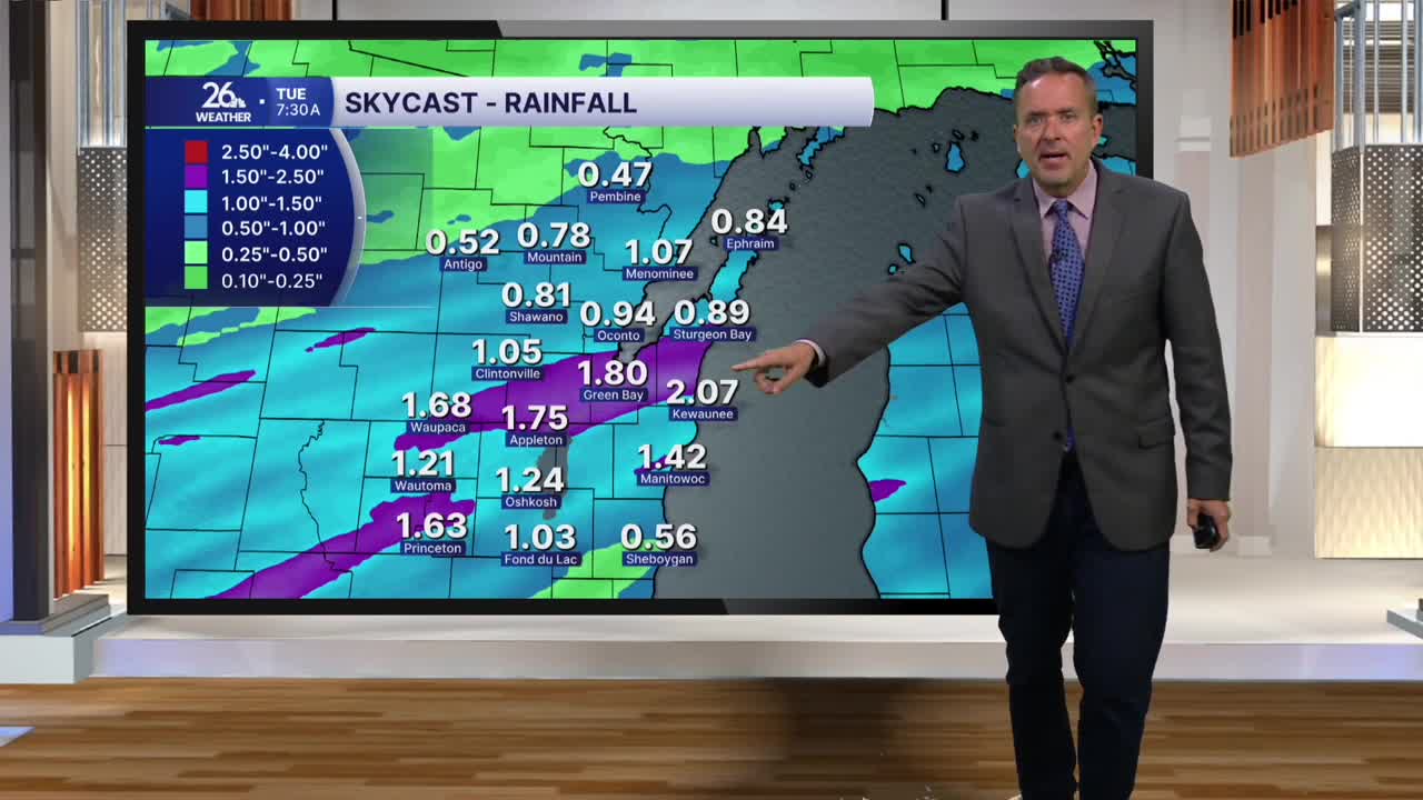
After morning sunshine, the clouds increased during the afternoon, and it’s going to be a wet night across Northeast Wisconsin. We will see periods of rain and thunderstorms, and the rain could be locally heavy. Most spots will see a half-inch to an inch of rain by Tuesday morning, but totals could exceed two inches where we see repeated heavy shower or thunderstorm activity.
A ridge of high pressure builds back in tomorrow, bringing mostly sunny skies and gusty winds. After highs in the upper 60s to around 70 today, we will see mid-70s by Tuesday afternoon. Although tonight‘s rain should help with drought conditions across the NBC 26 viewing area, we still need more rain, and we will have additional chances for showers or thunderstorms throughout the week. The next best chance of rain will arrive Friday night into Saturday. High temperatures will range from the mid-60s to the mid-70s, depending on cloud cover versus sunshine.
