

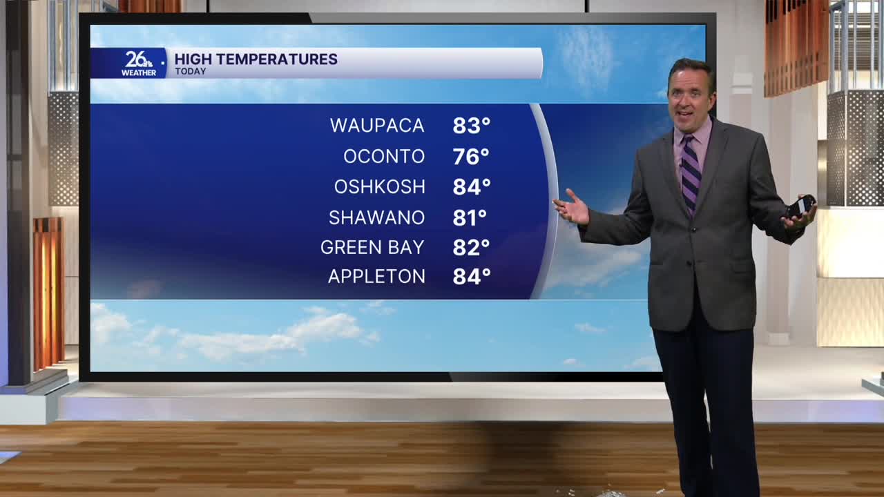


It was another day of record-setting warmth across northeast Wisconsin, with high temperatures reaching the lower to mid-80s—about 15 to 25 degrees above normal for this time of year. While this marked our third consecutive day in the 80s, Tuesday will not make it four.
A backdoor cold front sliding south across the viewing area is shifting our winds. Ahead of the front, southwest winds are turning north as much cooler air surges south from Canada. This front is also triggering scattered showers and thunderstorms.
Instead of the 80s, Tuesday will feature a mix of low clouds, patchy fog, drizzle, and pockets of sunshine. Expect much cooler weather, with highs dropping into the 60s. Although it will feel significantly cooler than today, temperatures will still run slightly above average. It is hard to believe after this afternoon's heat, but our normal high temperature officially drops into the upper 50s tomorrow.
Wednesday will feature a mix of sun and clouds, bringing even cooler conditions with highs around 60 degrees.
The cooldown continues Thursday as a system moves in from the west. Thickening clouds will give way to rain, and afternoon temperatures will struggle to leave the 50s. By Friday, expect gusty northwest winds with highs ranging from the 40s up north to the lower 50s down south. We will also carry a chance for a few rain showers, and it is even possible that a wet snowflake could mix in across the far north.
Saturday morning could bring a widespread freeze to much of the NBC 26 viewing area. With lows expected in the upper 20s to the lower 30s, the growing season will likely come to an end across most of northeast Wisconsin. However, gusty winds on Saturday will quickly begin to warm us back up, and the mid-60s will return by Sunday afternoon. It should turn out to be a great weekend to get outside and check out the near-peak fall color currently on display across northeast Wisconsin!
