

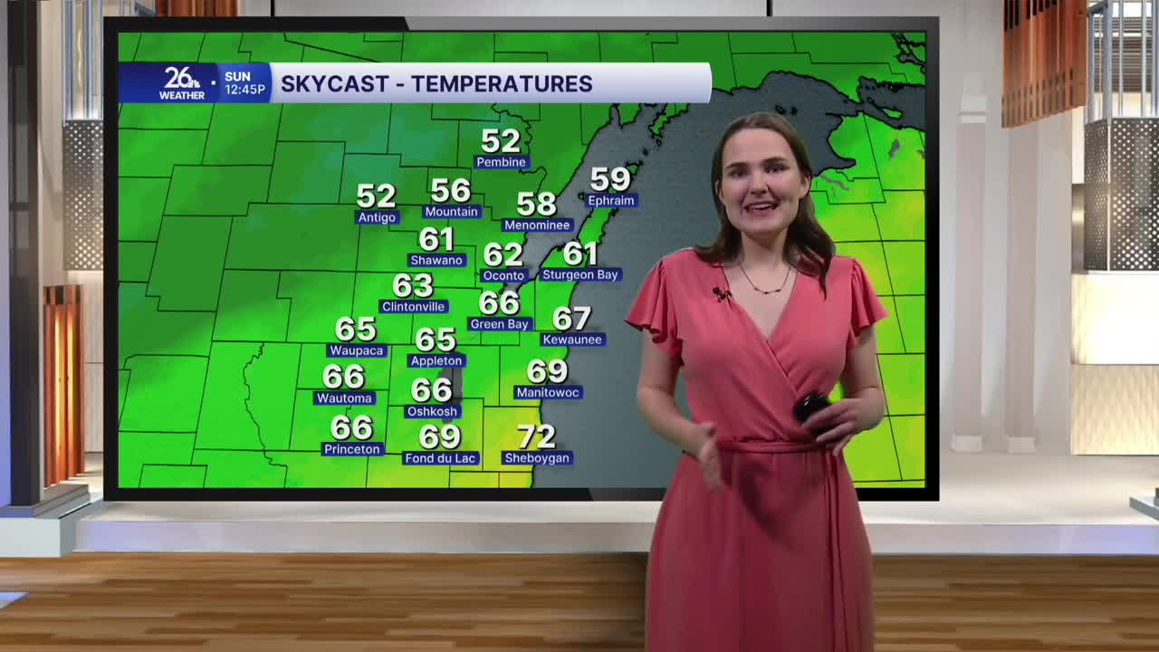


This afternoon brought temperatures in the 70s across much of the area, marking the seventh consecutive day with above-normal highs. We also saw a mix of clouds and sunshine, along with slightly gusty southerly winds, making for a beautiful start to the weekend.
This evening will remain mild, with temperatures falling into the low 60s under partly to mostly cloudy skies. Clouds will continue to build overnight, keeping lows in the mid-50s.
Sunday will be a bit cooler, though temperatures will still be warmer than normal for late October. Highs will reach the mid to upper 60s under mostly cloudy skies. A few light showers are possible across the northern counties during the afternoon, but most of the area will stay dry.
A cold front will move through Sunday evening, bringing temperatures back to more seasonable levels to start next week. Highs on Monday and Tuesday will only reach the 50s, with plenty of clouds and a chance for scattered showers both days.
The cooldown will be brief, however. Temperatures will rebound into the 60s on Wednesday and are expected to stay there through the rest of the week and into Halloween.
