



We kicked off Wednesday morning with loud, booming thunder and the most vivid lightning display of the entire summer. Although the thunderstorms brought beneficial rain to parts of the area, we also had severe weather. There were numerous reports of trees down across Northeast Wisconsin, and a barn was destroyed in Sheboygan County.
After the storms rolled off to the east, we broke into mostly sunny skies by the afternoon, with temperatures climbing into the 80s. Although we did not have dew points in the upper 70s like yesterday, it was still quite humid, with dew points ranging from the mid-60s to the mid-70s during the afternoon.
The combination of temperatures in the 80s and high humidity pushed heat index values close to 90°, which is hot but definitely cooler than the last couple of days, when heat index values were around 100°.
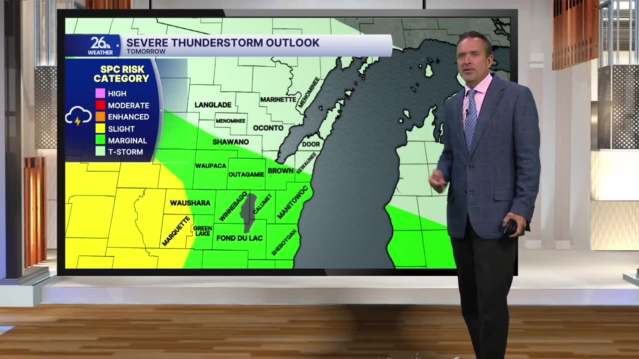
A frontal boundary located to our south will produce active weather on Thursday. On-and-off showers and thunderstorms are expected, and some storms could be strong to severe, with damaging winds and hail. There is also a threat for torrential downpours.
High temperatures on Thursday will be mainly in the 70s, with more clouds and a chance of on-and-off rain. On Friday morning, showers and thunderstorms are possible, followed by a mix of sun and clouds for the rest of the day, with highs right around 80°.
Labor Day Weekend is the unofficial kickoff to fall, but this year it’s going to feel more like summer, with above-normal highs in the upper 70s to lower 80s and plenty of humidity. There will be just a slight chance for a shower or thunderstorm each day, but overall, it should remain mainly dry.
