Today's high temperatures were once again 10-15 degrees below normal.
It was the 12th straight day with below normal highs.
High pressure will continue to bring sun and clouds to Wisconsin over the next 3-4 days.
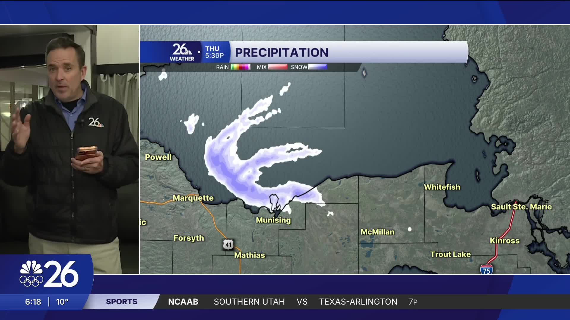
NE winds tonight & Friday will produce some lake effect snow near the shoreline of Lake Michigan.
Most areas near the lake will see a dusting to a couple of inches but locally higher amounts are possible.
High temperatures will remain in the teens.
A weak system may bring some to all of N.E.W. Sunday night & Monday.
4 days from today is Groundhog Day, when we find out whether we have 6 more weeks of winter or early spring.
Either way, temperatures will be much warmer next week compared to what we've been seeing.
Cameron's Forecast


Posted
