After the 36th coldest December on record, January started right where the previous month left off.
New Year's Day was the coldest in nearly three weeks, with temperatures running 15 degrees below normal.
Along with cold, more snow. It was only a dusting, but it added to the seasonal snowfall total.
We have now picked up nearly two feet of snow this winter, a good 8-10" above normal.
Friday will be dry as high pressure builds in from the Northern Plains.
Sunshine will replace the flakes, but the subzero wind chills will remain.
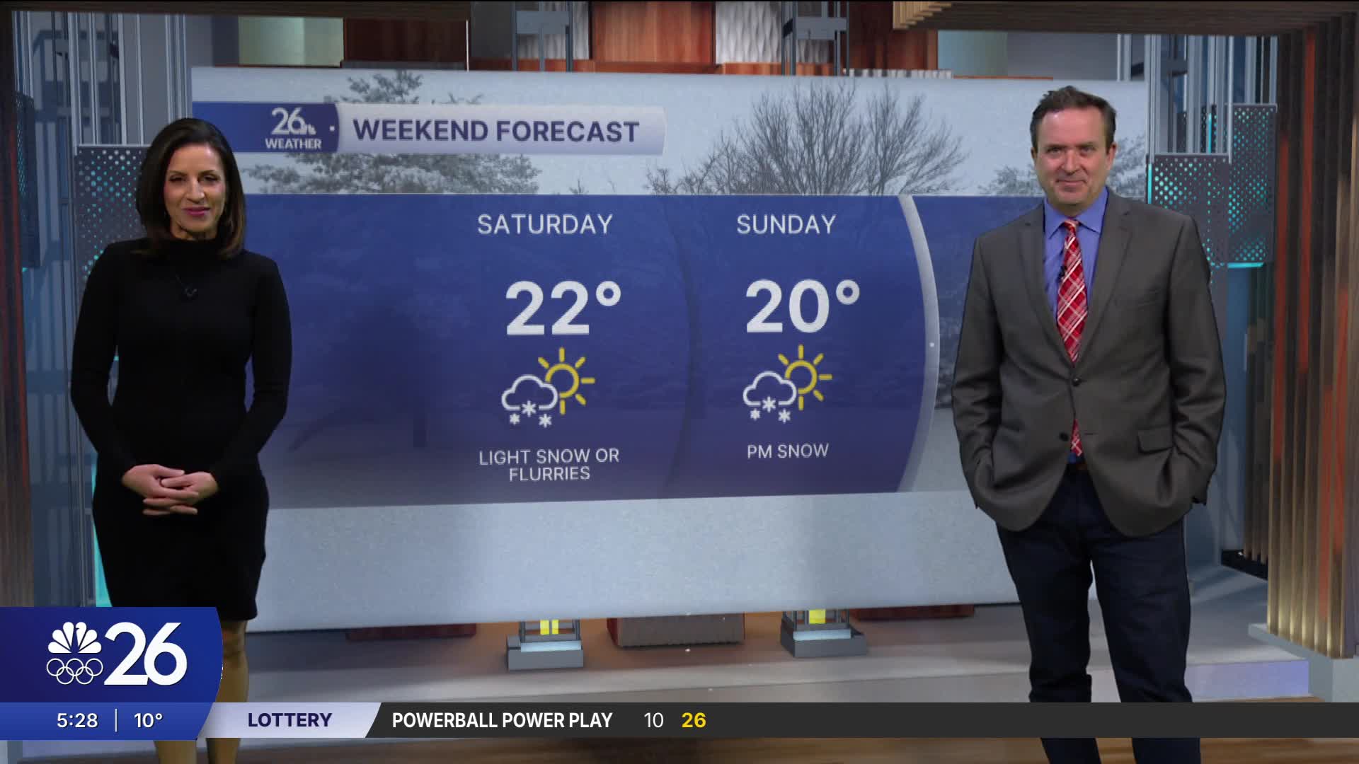
Another weak system will bring light snow or flurries late tomorrow night & Saturday.
A much bigger system will bring accumulating snow Sunday night & Monday. Stay tuned!
After that snowfall, the January Thaw moves in for the rest of the week.
Cameron's Forecast


Posted
