



After five straight days with highs in the 60s, we only managed to hit the lower 50s today—and that was during the morning. Temperatures actually tumbled into the 40s by the afternoon, driven by gusty northerly winds that occasionally topped 30 mph. Along with the cooler conditions, we had plenty of clouds and on-and-off rain showers.
Colder air will continue to work in overnight. It will be cold enough aloft that any lingering rain showers could mix with a wet snowflake or a sleet pellet.
By daybreak, temperatures will sit in the lower to mid-30s, but those gusty northerly winds will drop wind chills into the lower and mid-20s at the bus stop.
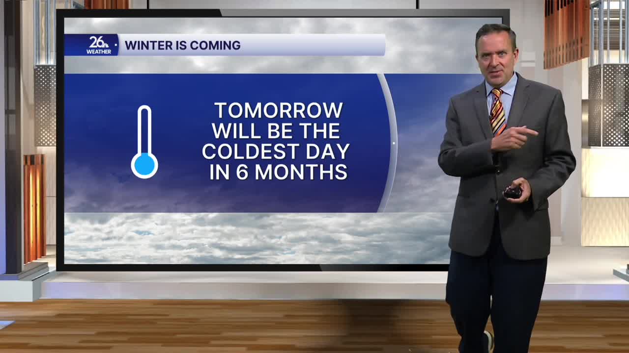
After morning clouds and perhaps a leftover sprinkle or flurry, skies will mix with some sunshine by the afternoon. High temperatures will top out only in the lower to mid-40s, making tomorrow the coldest day since May.
Skies clear out completely Friday night into Saturday morning as temperatures fall into the mid-to-upper 20s.
Saturday will feature a mix of clouds and sunshine with highs in the mid-to-upper 40s, but the 50s return by Sunday.
The warm-up continues into early next week, with highs climbing into the 50s to near 60 degrees for both Monday and Tuesday.
