

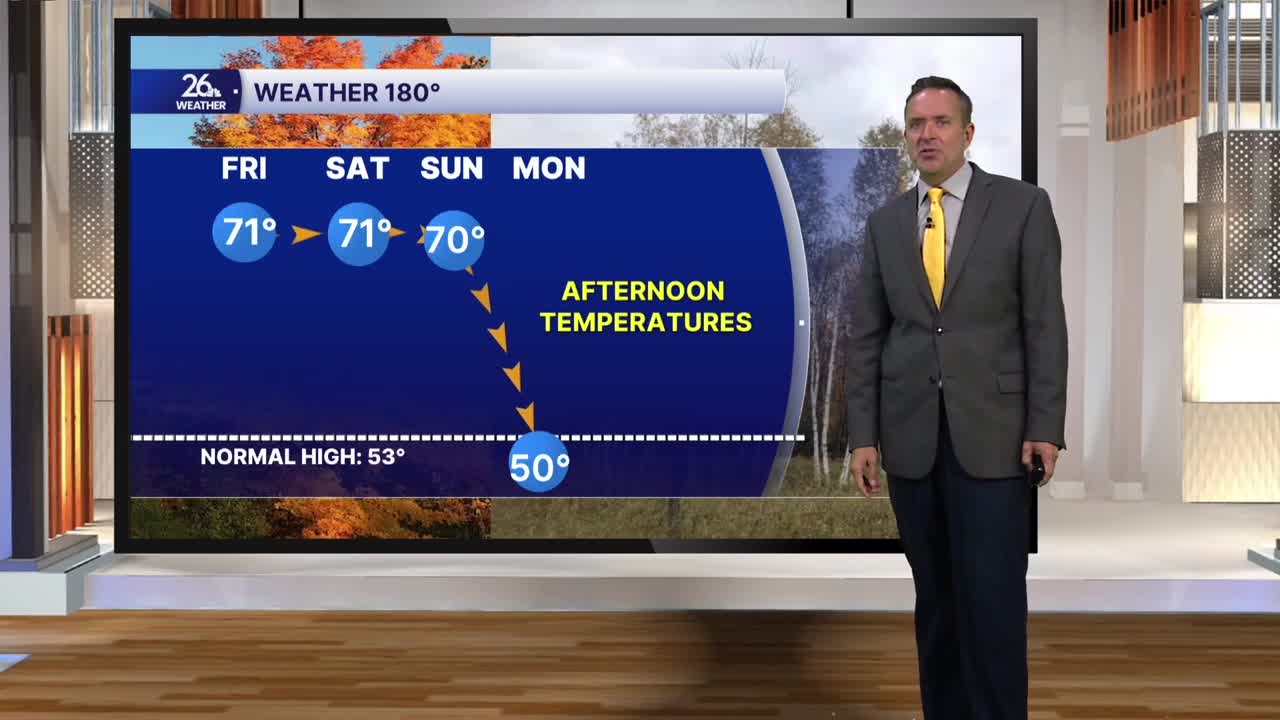


What a difference a day makes. After three days of sunshine and highs in the lower 70s, we had clouds, gusty northeast winds, on-and-off rain, and much cooler temperatures today. Many of us were stuck in the 40s for most of the afternoon.
Clouds will linger overnight with a chance of on-and-off light rain and showers.
The threat of a few showers will persist on Tuesday, though some spotty sunshine is also possible. Combined with gusty southerly winds, temperatures will rise back into the upper 50s to around 60.
On Wednesday, skies will be mostly sunny. With gusty southwest winds at times exceeding 25 mph, temperatures will once again climb into the lower 70s across much of Northeast Wisconsin.
That warmth is building ahead of a cold front that will move through the area Wednesday night into Thursday morning. As it moves through, showers and thunderstorms are possible.
If you’re a fan of this warm weather, the cooler air behind the front is lagging by about 24 hours. Thanks to plenty of sunshine on Thursday afternoon, temperatures will climb back up to around 70°.
The weather looks fantastic at Lambeau Field. For tailgating, expect temperatures in the upper 60s with lots of sunshine, then mid-50s for kickoff.
Friday will be quiet with lower 60s, but the weather will turn unsettled over the weekend.
Halloween looks like both a trick and a treat this year, bringing above-normal temperatures but also the chance of scattered showers.
We all get a treat on Saturday night with an extra hour of sleep. That’s right, it’s fall back time! Turn those clocks back one hour before you go to bed Saturday night. November then arrives with clouds and a few showers, but normal temperatures will linger around 60°.
