

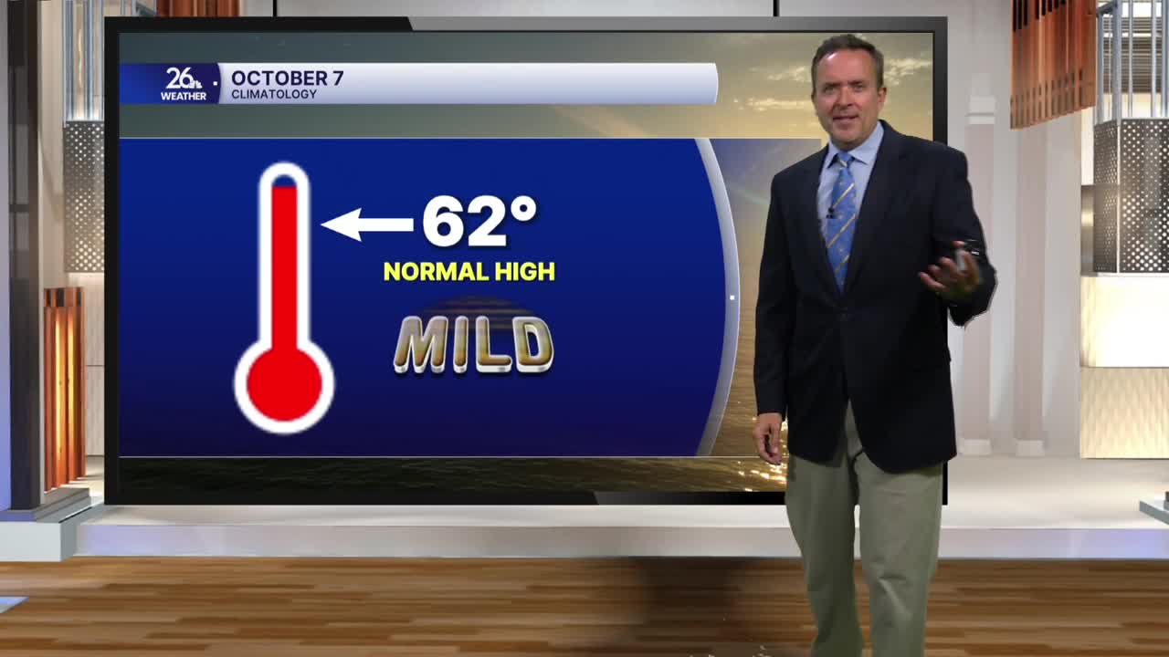


With bright sunshine and gusty southwest winds between 35 and 40 mph, temperatures soared today. Most spots climbed 10 to 15 degrees above normal, with highs topping out in the 70s.
A cold front will move through the area overnight without rain, bringing a shift in the wind for Wednesday. Instead of gusty southwest winds, we will see gusty northwest winds. However, the cooler air behind this front is lagging by about 24 hours, so expect another round of 70s tomorrow afternoon, with a mix of sunshine and occasional clouds.
A weak system tomorrow evening may touch off an isolated shower, especially north of Green Bay.
High pressure builds in for Thursday and most of Friday, bringing a mix of sun and clouds with highs in the 60s.
A warm front Friday evening may trigger a shower or sprinkle just in time for Friday Night Lights.
That front pushes east by Saturday morning, opening the door for summer-like temperatures, very gusty winds, and plenty of sunshine this weekend. Highs will soar into the lower to mid-80s, meaning records could fall. In fact, it will feel like August at Lambeau Field, with kickoff temperatures around 80 degrees.
