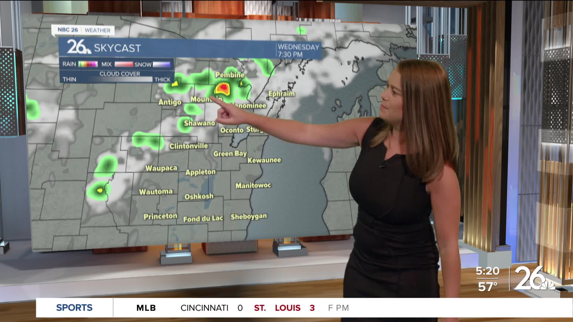
Summer's last hurrah continues today with highs in the mid to upper 80s with an increase in humidity. Cold front slowly dipping in from the north will trigger isolated storms between 4-7pm in far northern Wisconsin. No severe weather is expected, but storms won't move much so they'll dump a lot of rain in one spot and produce gusty winds when the storm weakens. More isolated showers are possible Thursday with a better chance for rain this weekend. Temps fall back into the mid 70s Thursday and lower 70s Friday and Saturday.


Posted
