

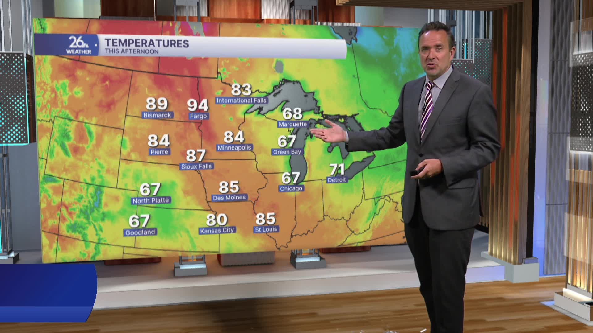


A backdoor cold front moved through Northeast Wisconsin yesterday evening, sparking showers and a few thunderstorms. The storms produced gusty winds, hail, and heavy rain. Golf ball-sized hail was reported in Wausau.
Northeast winds cooled things down considerably today as high pressure built in from Canada. Highs only reached the upper 60s to mid 70s. The high-pressure system will move east overnight.
Southwest winds and sunny skies will boost temperatures considerably on Friday, with highs returning to the 80s.
Expect a mix of sun and clouds for the final weekend of May, with highs in the 70s. This pleasant weather pattern is expected to continue into June, with the next chance of rain not expected for more than a week.
