

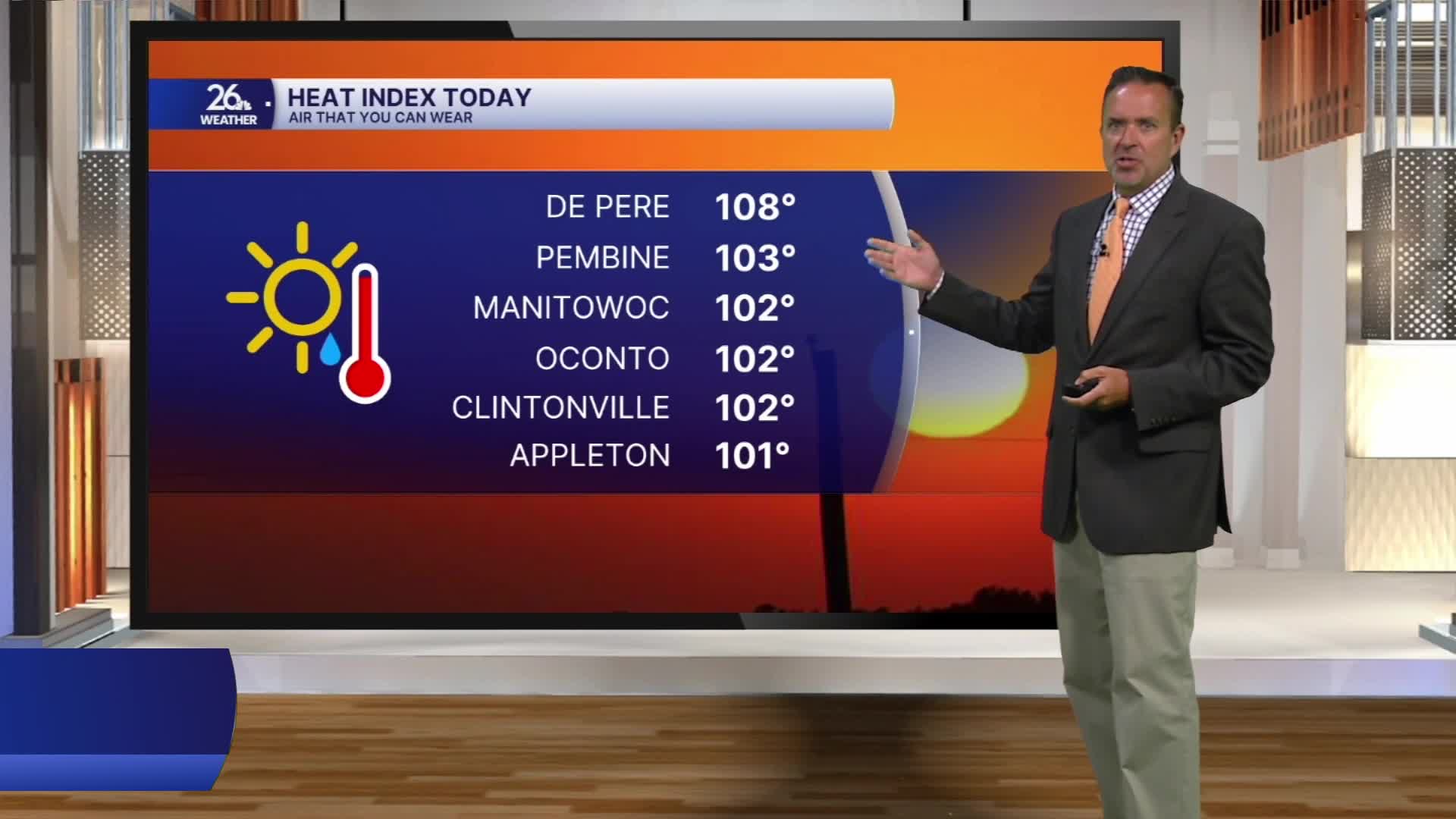


The heat wave continued across the area today, but the end is near. High temperatures this afternoon once again ran 5 to 15 degrees above normal for the middle of July, with many locations north and northwest of Green Bay reaching the mid to upper 90s.
Today marks the 31st anniversary of the last 100-degree temperature recorded in Green Bay, which occurred on July 14, 1995.
Heat advisories have been extended through Wednesday for areas from Green Bay southward, where the heat wave will continue. High temperatures will once again climb into the 90s, and with dew points around 70 degrees, heat index values of 100 degrees or higher can be expected.
North of Green Bay, it will be cooler, with highs mainly in the 80s. The cooler weather will arrive behind a backdoor cold front, which will shift winds to the north and east during the afternoon.
There are also wildfires burning in Minnesota & Canada. Some of the smoke will move into Wisconsin on Wednesday. Air Quality Alerts have been issued for the entire area. The smoke will drop the air quality & you may be able to smell it.
The front will then introduce a chance of showers and thunderstorms on Thursday and Friday. Some of the storms, especially on Friday, could produce locally heavy rainfall, and an isolated severe thunderstorm cannot be ruled out.
Along with the threat of rain, the northeast winds behind the front will cool the entire area as we move into the weekend. Temperatures will be cooler, but still above normal overall, with highs mainly in the mid to upper 80s away from the lake.
