



The heat wave we have endured for the last several days is finally beginning to wind down today.
This afternoon, temperatures will top out in the upper 80s and low 90s area-wide. Areas north of Green Bay will finally begin to see relief from the heat with highs in the 80s, while those of us in Green Bay and south of the city will stay in the 90s for another day. Heat advisories from Green Bay southward were extended through 9 PM this evening as temperatures climbing back into the 90s combine once again with high dew point values to produce heat index values of 100 or greater.
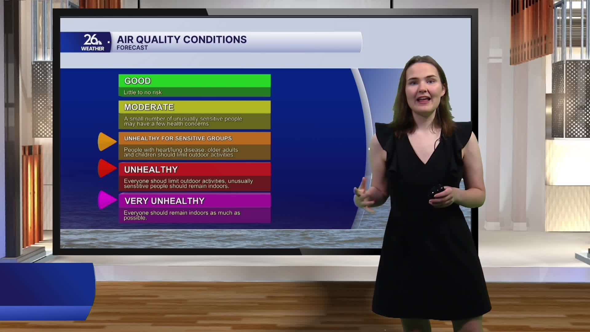
Wildfires have been burning in parts of Northern Minnesota and Canada. Some of the smoke from these fires will move into Wisconsin today. The National Weather Service has issued area-wide Air Quality Alerts. Smoke will reduce air quality to levels ranging from Unhealthy for Sensitive Groups to Very Unhealthy. There is the possibility that you may even be able to smell the smoke outdoors.
A cold front will begin sliding in this afternoon from the north, shifting our winds to the northeast this afternoon. The front will bring cooler air along with chances for showers and thunderstorms Thursday and Friday. Some storms on Friday could produce locally heavy rainfall. Temperatures across the area will cool off for the weekend as the front passes, but they will still be above normal for this time of year.
