



It was another hot day across Northeast Wisconsin. High temperatures climbed into the 90s south and west of Green Bay, and with dew points in the 70s, heat index values reached around 100 degrees.
The heat wave is winding down; however, smoke continues to pour in from Canada due to large wildfires just northwest of Lake Superior.
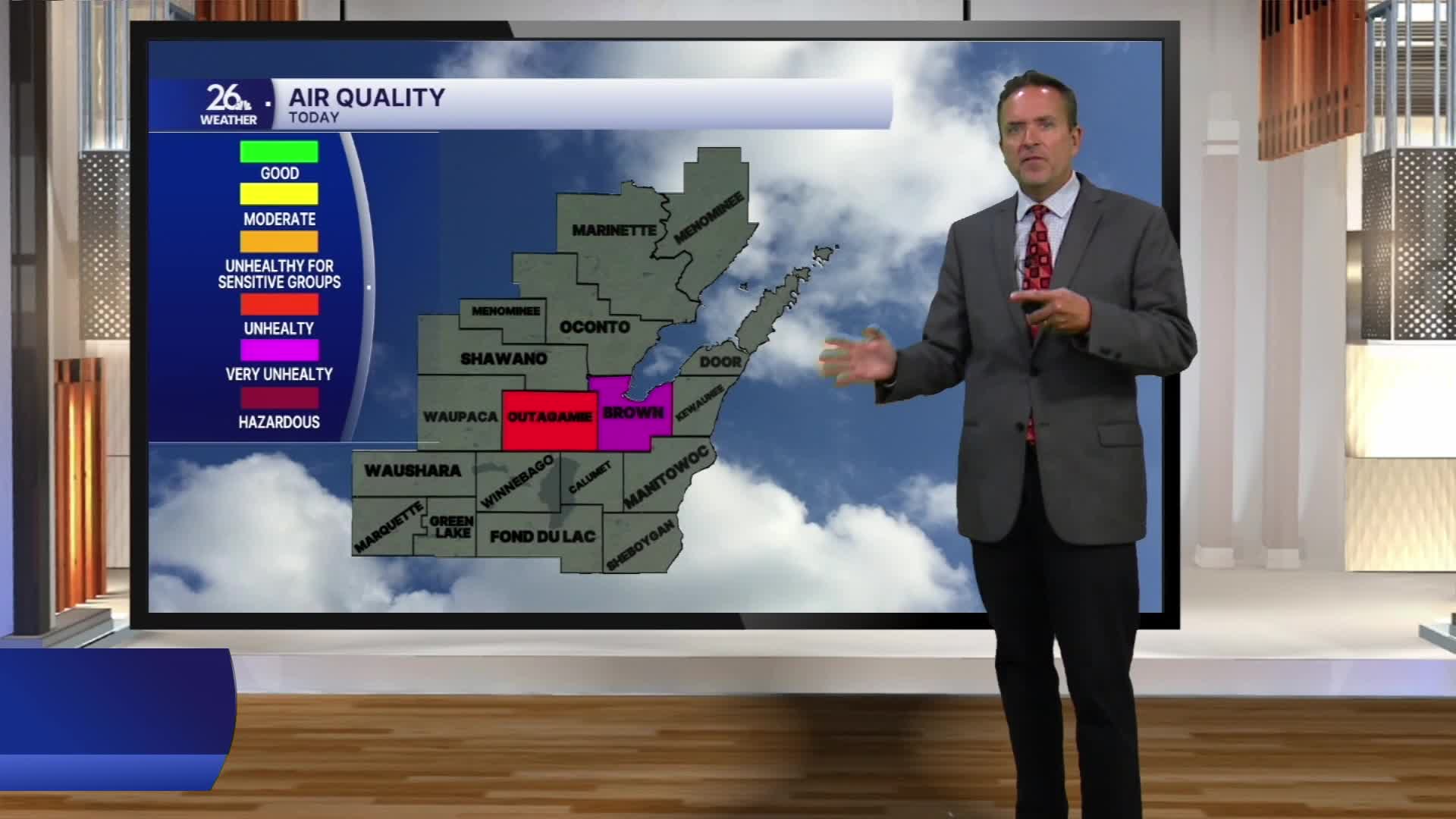
At times today, the smoke reduced visibility to around one mile and produced poor air quality, ranging from unhealthy to hazardous across parts of Northeast Wisconsin. The Air Quality Alert remains in effect through tomorrow.
The smoke will linger into Thursday, but it should begin to thin out and retreat northward by the afternoon or evening.
Meanwhile, the cold front that cooled the northern half of the viewing area today will continue pushing south this evening before stalling across southern Wisconsin for the next several days.
The front’s close proximity will keep occasional showers and thunderstorms in the forecast, beginning tomorrow evening and continuing through Saturday morning.
A few storms could become strong to severe on Friday and produce locally heavy rainfall.
High temperatures will remain mainly in the mid-80s through the weekend.
