The Heat Wave is over!!
After 3 straight days with highs in the 90s & dew points in the 70s, much cooler weather is on the way!
A strong cold front will move though overnight switching winds to the north for Tuesday.
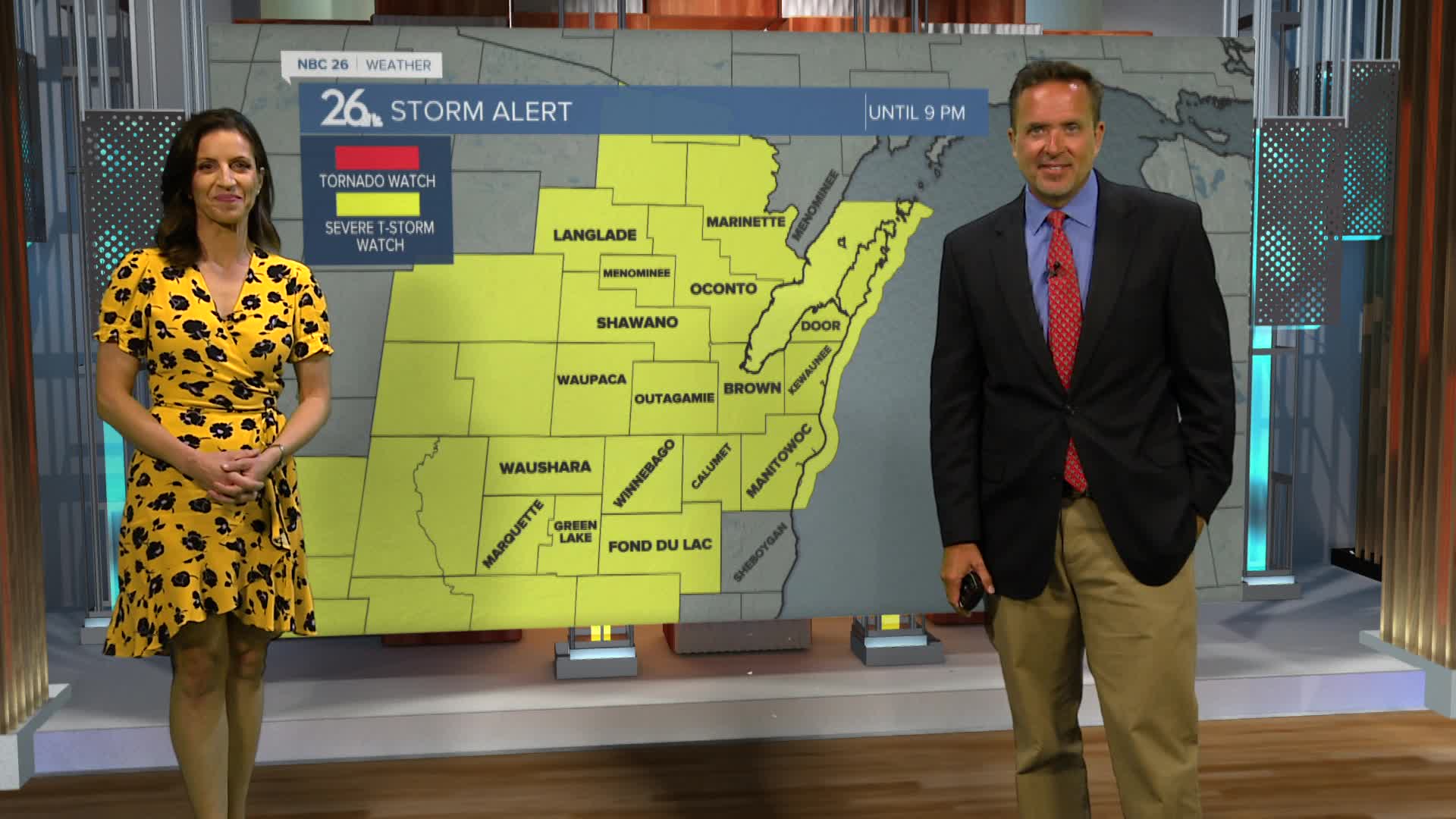
Out ahead of the front, strong/severe thunderstorms developed across the area.
Winds gusted 50-60 mph & torrential rain fell.
The threat for on/off showers & storms will continue for much of the week.
Highs on Tuesday will only be in the 70s & similar temps are forecast on Wednesday.
Cameron's Forecast


Posted
