

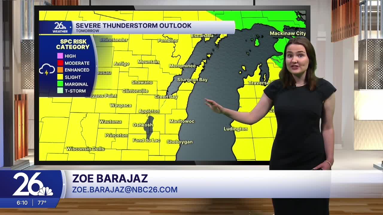


After a dry and comfortable few days, the heat and humidity will make their return as we head into the second half of the weekend.
This evening, expect a mix of sun and clouds, with temperatures gradually falling into the upper 70s. Tonight, temperatures will settle into the 70s under partly cloudy skies, with dew points in the 60s. The higher dew point values, combined with temperatures in the 70s and 80s, could allow a stray shower or thunderstorm to develop, but the chance of this happening is low. If a shower or storm does develop, it could become strong to severe.
Temperatures will continue climbing through the remainder of the weekend, reaching the 90s by Sunday. In addition, humidity will remain high through early next week, with dew point values in the upper 60s and 70s after several days in the 40s and 50s last week. Heat index values are expected to approach 100° on both Sunday and Monday. This hot and humid air will also bring an increased chance for showers and thunderstorms.
Storm chances will increase over the next few days, with only a slight chance tonight, a better chance on Sunday, and the highest chance on Monday. Some storms could become strong to severe and produce heavy rainfall.
Relief is in sight, however, as drier air moves in and temperatures cool back into the 80s beginning Tuesday.
