

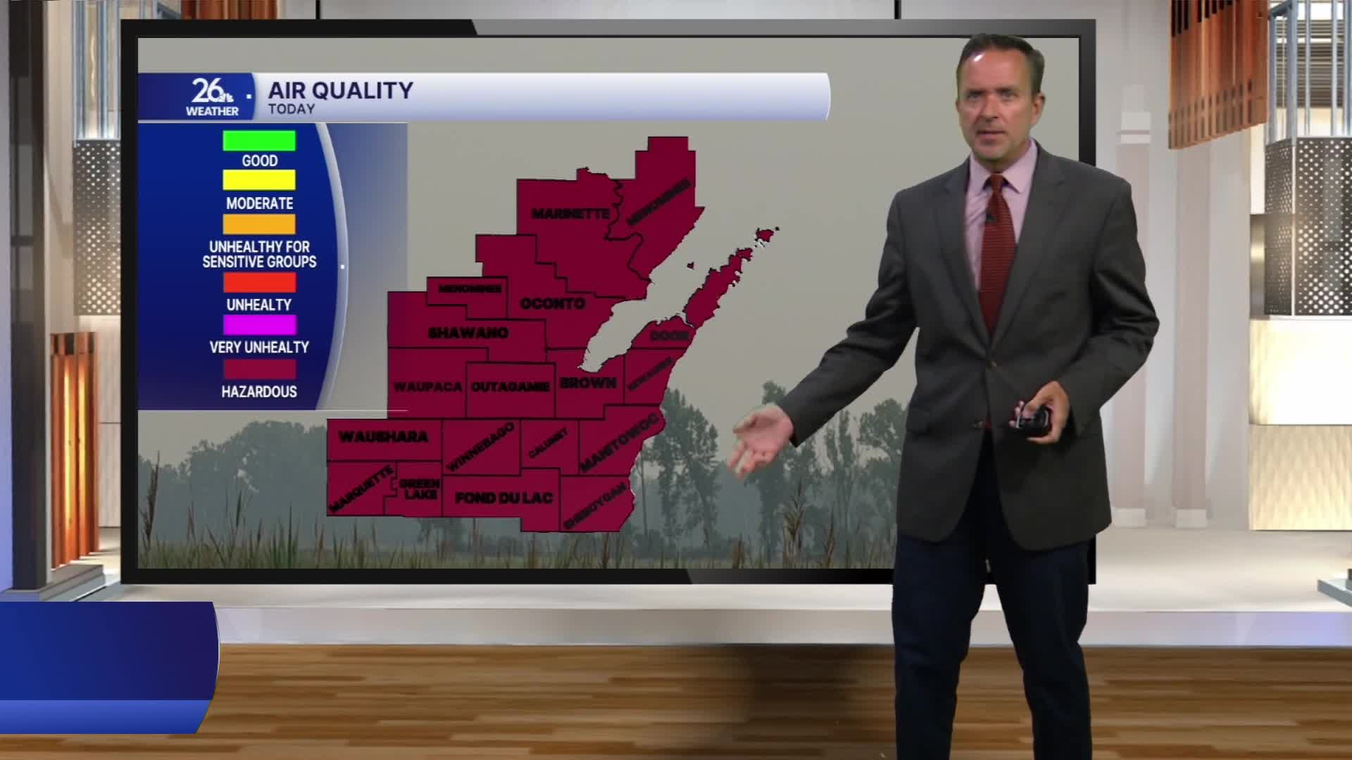


The Air Quality Alert remains in effect for the entire viewing area tonight through tomorrow.
It was another day of thick, heavy, foul-smelling smoke across northeast Wisconsin and the Upper Peninsula. Visibility dropped to as low as half a mile at times, and air quality reached hazardous levels. In fact, parts of the area recorded readings over twice the threshold needed to reach the hazardous category.
For the first time since Saturday, no location in the NBC 26 viewing area reached 90 degrees. High temperatures were mainly in the mid-80s, while dew points dropped into the lower 60s—the most comfortable levels we have seen since the weekend.
A stalled boundary to our south will lift north as a warm front overnight and into tomorrow morning. It will produce a few scattered showers and thunderstorms overnight.
As the front moves north tomorrow, winds will shift from the north to the south and southwest. That southwest wind will help disperse the smoke and push it back toward Canada by the afternoon.
A mix of sun and clouds will give way to another chance of scattered showers and thunderstorms tomorrow evening, especially north of Green Bay, where there is a marginal risk of severe weather. Some storms could produce gusty winds, hail and brief heavy rainfall.
The thunderstorms will accompany a cold front that will move through tomorrow night into Saturday morning. Behind the front, look for gusty northwesterly winds on Saturday. Although sunshine is in the forecast, those winds could bring a fresh batch of smoke back into the area.
At this point, the smoke is not expected to be as dense as what we just experienced.
High temperatures will remain in the 80s Saturday and Sunday, with mainly dry conditions expected.
