



The weekend wrapped up on a warm note today. High temperatures across the area climbed into the upper 50s to around 60 degrees, fueled by plenty of sunshine and southwesterly winds. Those winds became a bit gusty at times this afternoon as a cold front passed through the area, although it had few immediate effects aside from shifting winds to the northwest.
Cooler air begins moving in tonight. Temperatures will be in the 40s this evening, but as the night goes on, lows will fall into the mid-30s. Clouds will gradually move in from the northwest, and by the time we wake up tomorrow morning, skies will be mostly cloudy.
Temperatures Monday morning will start in the mid to upper 30s, rising only into the mid-50s by the afternoon. Skies will remain mostly cloudy throughout the day, although there may be a few peeks of sunshine mixed in.
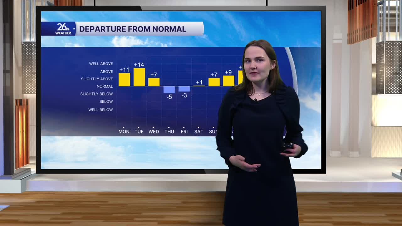
Tomorrow is just the beginning of a temperature rollercoaster that will continue throughout the next week. Temperatures warm back up Tuesday as winds shift back to the southwest, allowing highs to climb to around 60 degrees under mostly sunny skies. On Wednesday, temperatures take another tumble, with highs falling into the 50s. Highs drop further through the end of the workweek, reaching the 40s by Saturday. Then, things begin to warm up again, with highs returning to the 50s during the second half of next weekend.
The temperatures may be up and down over the next week, but one thing staying consistent will be the dry weather, with a mix of clouds and sunshine expected each day.
