After a cold weekend with highs only in the 20s, today marked the third consecutive day with highs in the 40s or 50s.
In fact, we were running 20 degrees above normal, flirting with a record high of 58 degrees, set two years ago.
A cold front will move through overnight, turning winds to the NE and cooling us back down.
A few rain showers or sprinkles are possible behind the front.
A wet snowflake or sleet pellet can't be ruled out.
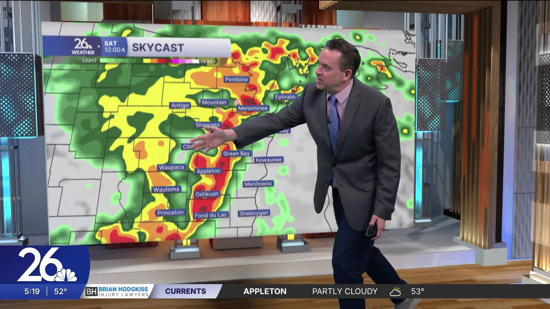
Our next big weather-maker will bring clouds and rain back to Wisconsin on Friday.
A few thunderstorms are likely, and some could be severe with heavy rain.
This is the weekend we spring ahead! Turn the clock forward by an hour before bed Saturday night.
We lose an hour of sleep but gain an extra hour of sunshine on Sunday PM.
Temperatures over the weekend and early next week will be in the 50s and 60s.
Temperatures will return to normal by the middle of next week.
Cameron's Forecast


Posted
