

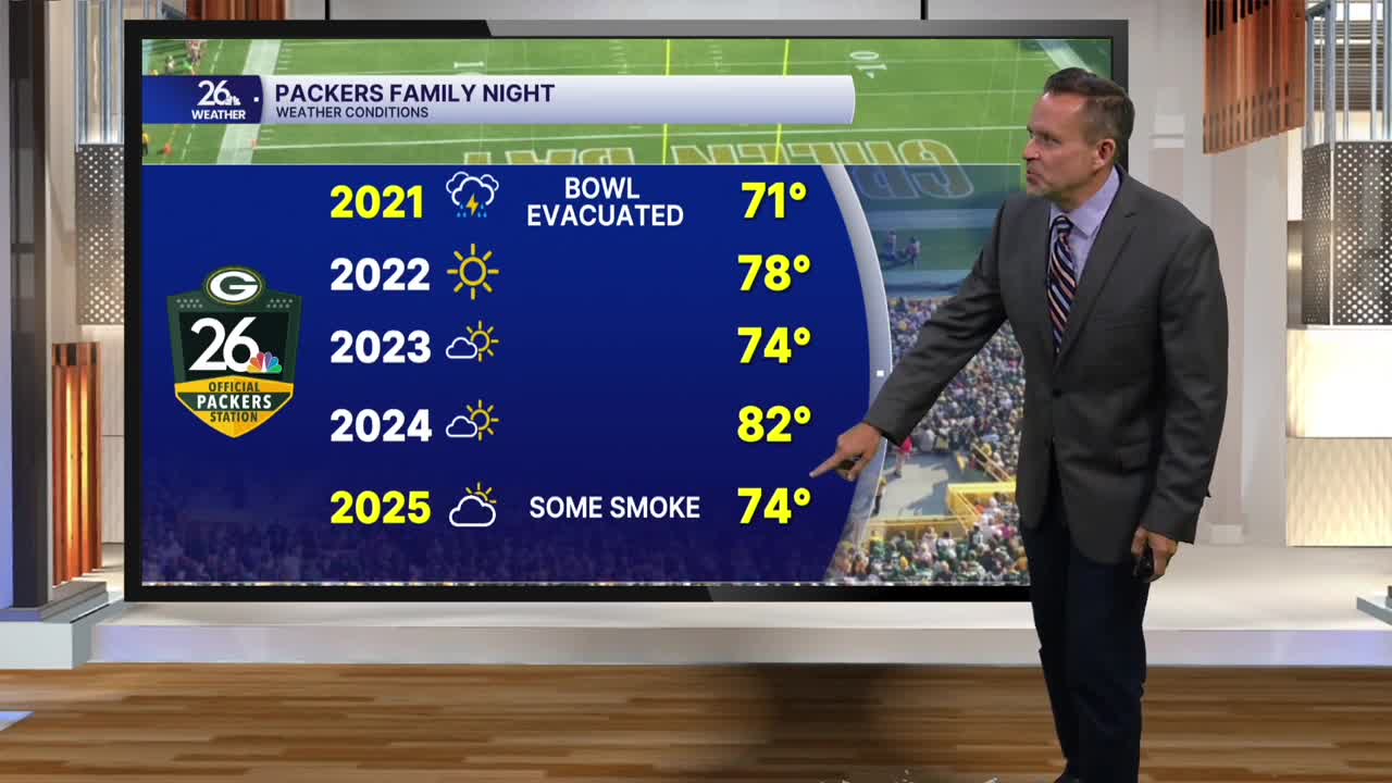


It turned out to be a dreary day across much of Northeast Wisconsin. The clouds and persistent showers that lingered through the afternoon and early evening were the result of a stalled frontal boundary to our east. Thanks to the clouds and rain, temperatures this afternoon were running 5° to 15° cooler than what we saw yesterday.
Overnight, skies will slowly clear from northwest to southeast across the area. The clearing, combined with light winds, will help produce areas of fog, which could become locally dense by Thursday morning.
On Thursday, morning fog, low clouds, and perhaps a leftover sprinkle will be possible south and east of the Fox Valley. Look for increasing sunshine and much warmer weather during the afternoon as high pressure builds into the region. Temperatures will climb back above normal, reaching the lower 80s.
Friday will feature mostly sunny skies and temperatures in the lower to middle 80s. A weak system moving through late in the day may touch off a few scattered showers and thunderstorms, especially north and west of the Fox Valley, where there is a marginal risk of severe weather.
Over the weekend, look for highs in the middle 80s with a mixture of sunshine and clouds. There will be a slight chance of a shower or thunderstorm each day, but most of the weekend should remain dry.
