



It was a wet and cool day across northeast Wisconsin as memories of Monday slowly slip away—back when temperatures were in the 80s under sunny skies. The system responsible for the rain will continue to bring showers overnight. As it pulls away, northerly winds will begin to strengthen.
Friday will bring an unmistakable blast of November. Expect on-and-off rain showers throughout the day, with the potential for a wet snowflake or a sleet pellet across the far northwest. Winds will gust over 40 mph, and temperatures will struggle to reach 50°F.
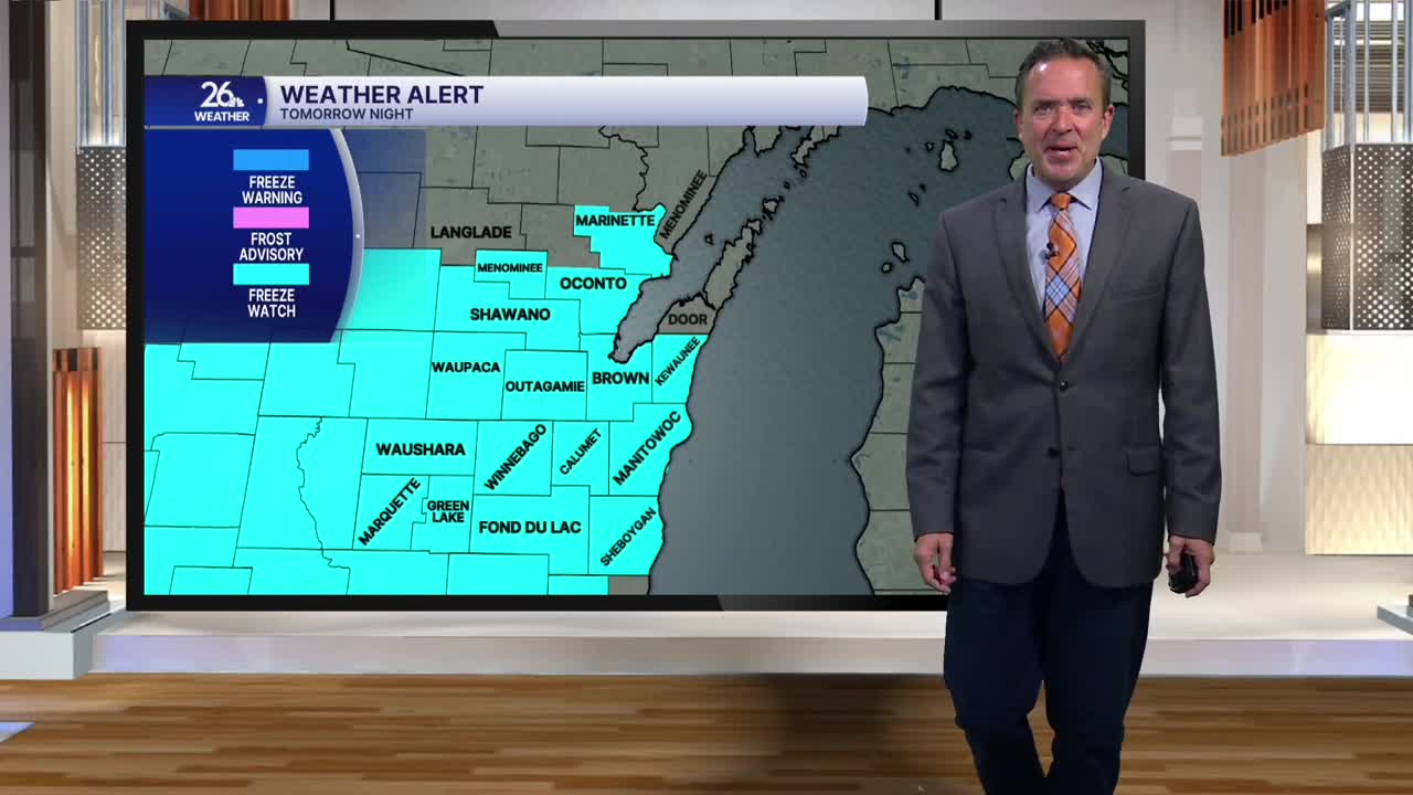
Skies will clear tomorrow evening. With winds diminishing, a widespread freeze is likely across the area. Temperatures will plummet to the upper 20s and lower 30s by Saturday morning, ending the growing season for much of Northeast Wisconsin. A Freeze Watch is in effect for most of the NBC 26 viewing area.
Lots of sunshine is expected on Saturday, along with gusty southwest winds as temperatures rebound into the mid-50s. We will see more of the same on Sunday, with temperatures climbing even higher into the mid-60s.
This looks to be the premier weekend for leaf-peeping across northeast Wisconsin—though those gusty winds mean there will also be plenty of leaf-raking!
