



We had a windy and cool end to the workweek, as high temperatures for many of us only made it into the low 50s, with some spots not even making it out of the upper 40s. Afternoon wind gusts of up to 40 miles per hour, along with some cloud cover, did little to help us warm up.
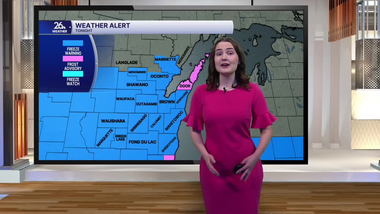
Look for skies to clear overnight as winds calm down. These conditions will allow temperatures to fall below freezing by early Saturday morning. The National Weather Service has issued a Freeze Warning for tonight through tomorrow morning. If you have any tender plants, be sure to protect them from the cold.
While Saturday may start off on a chilly note, it’s shaping up to be a lovely fall day overall. We’ll see plenty of sunshine, with highs in the mid to upper 50s. Winds will remain breezy but shift out of the south, bringing warmer air into Northeast Wisconsin as we head into the second half of the weekend. By Sunday, temperatures will climb into the mid-60s under plenty of sunshine, although it will remain a bit breezy.
Weather conditions are looking good for Sunday night’s Packers-Cowboys game. Tailgating temperatures will be in the mid-60s during the afternoon, but don’t forget to grab a jacket before heading to Lambeau. After sunset, temperatures will drop quickly, reaching the mid-50s by kickoff and the low 50s by the fourth quarter.
The warm-up continues into next week, too. Highs in the upper 60s will return by midweek, with temperatures potentially flirting with 70 degrees by Thursday under a mix of clouds and sunshine.
