

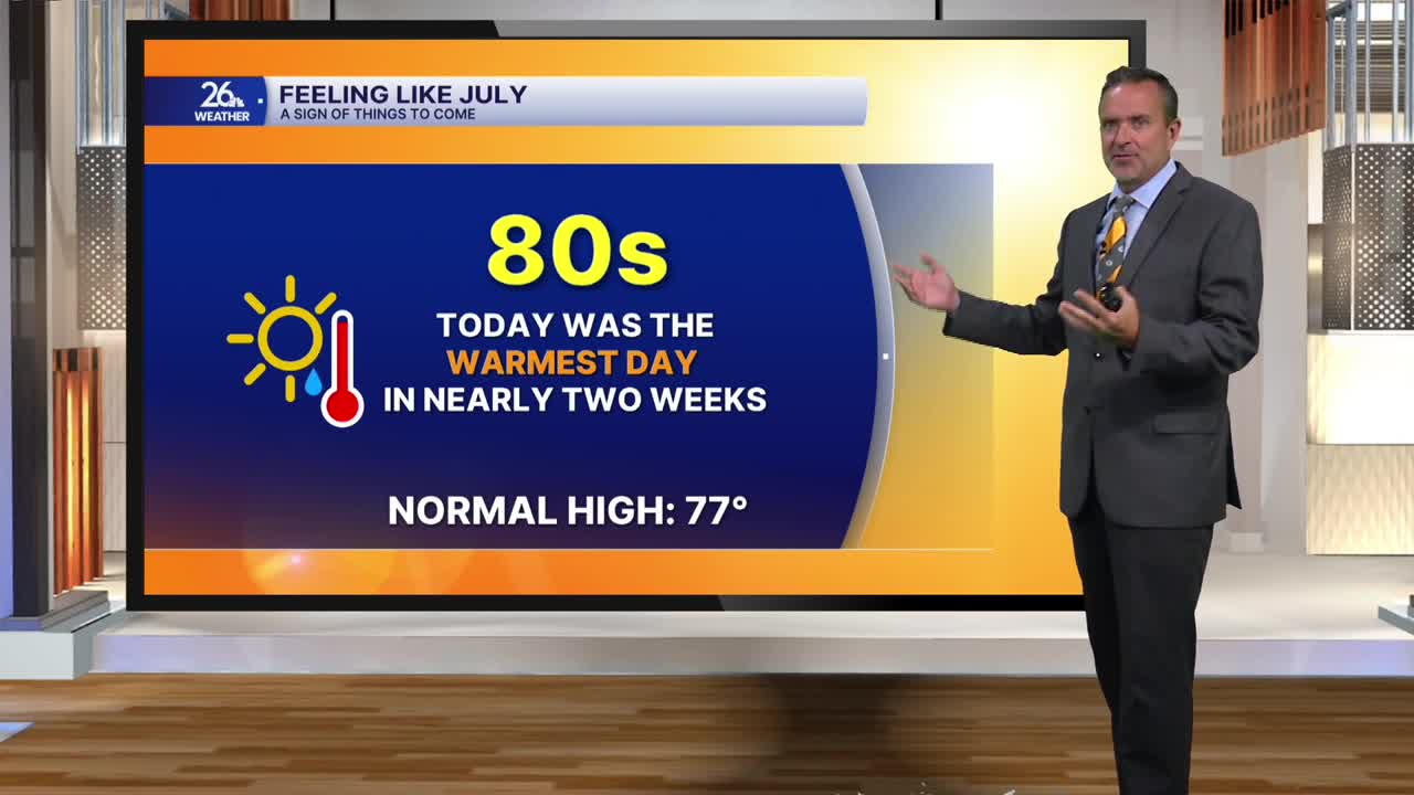


With highs in the 80s on Friday, it was the warmest day in nearly two weeks—and certainly a sign of things to come.
The large area of high pressure that has given us a couple of mostly sunny and dry days will push east overnight, allowing a warm front to approach from the west. As that front gets closer, our chances for showers and thunderstorms will increase.
Saturday is not going to be a complete washout, but it could be close across parts of the area. Look for cloudy skies with on-and-off periods of rain and thunderstorms. High temperatures will be in the lower to mid-70s, but it could remain in the 60s while it’s raining.
On Sunday, expect a mix of sun and clouds, with another chance of showers and thunderstorms. With some sunshine, highs will climb into the lower and mid-80s across the southern half of the viewing area. That warmth and increasing humidity could help fuel a few strong-to-severe thunderstorms capable of producing damaging winds, hail, and locally heavy rain.
This is really just the beginning of a very active stretch of weather as we wrap up August and move into September. Look for summer-like conditions with on-and-off chances for showers and thunderstorms. Some storms could become severe and produce locally heavy rain.
High temperatures will be in the lower half of the 80s for the most part, but dew points climbing into the 70s will make it feel quite warm and sticky.
